

3vGeomatics
- Home
- Companies
- 3vGeomatics
- Software
- Historical Analysis Software
Historical Analysis Software
From3vGeomatics
Radar satellites have been collecting images around the globe since the early 1990’s. Urban and rural locations worldwide have archive data available for InSAR analyses. Contact us using one of the options below and work with our team to understand what data is available for your project site.
Most popular related searches
- Understand historical slope movement or infrastructure displacement
- Develop baselines for contemporary data or applications
- Locate areas of stability for planning of new development projects
- Cost-effective
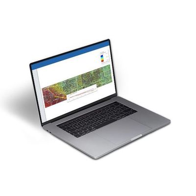
3vG can conduct a data archive search of all of the relevant satellite image databases to determine data availability over your specific area of interest. If sufficient imagery is available, we can conduct an InSAR analysis of these images to measure displacement over the associated time frame. An example of the type of InSAR results generated from historical archive images for a portion of a major U.S. city is shown in the figure to the right.