

Ambiental Risk Analytics
4 services found
Ambiental Risk Analytics services
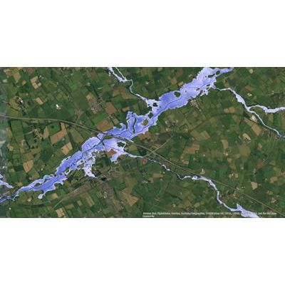
FloodMap - Emergency Response Services
Our flood maps are used by insurers, government agencies, property developers and emergency response services to visualise, assess and understand potential flood risk. Using our proven flood simulation software and high-quality topographical data, we can generate flood maps or flood risk datasets for most countries around the world. Many are already available.
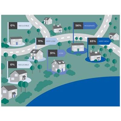
FloodScore - Property-Level Flood Risk Scores Assess and Flood Risk Information Services
FloodScore provides property-level flood risk scores and flood risk information for all properties in England, Scotland, Wales and Northern Ireland. You can use it to quickly evaluate and quantify flood risk. It’s available as an online checking service through an API, as a full or partial database, or as spatial layers.
FloodScore - Postcode Aggregates Property-Level Flood Risk Data Assess Services
FloodScore Postcode aggregates property-level flood risk data to produce a high-quality flood risk score for any UK postcode.
FloodScore AAL - Risk Rating Layers Services
Assess flood risk to individual properties across your portfolio. FloodScore AAL Risk Rating Layers enable you to visualise property-level AAL-based flood risk ratings, and integrate them with your GIS systems for advanced flood risk assessment.