
- Home
- Companies
- CO.L.MAR. S.r.l.
- Products
CO.L.MAR. S.r.l. products
Underwater Acoustic Systems
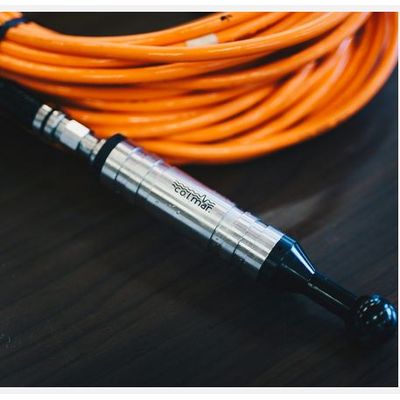
CO-L-MAR - Model GP1280 - Hydrophone
Low-noise preamplified omnidirectional hydrophone (“below sea state zero”). It is a highly professional instrument, suitable for a wide range of applications in the field of underwater acoustics. Its high sensitivity, together with the low voltage noise of its highly customizable preamplifier, make it particularly suitable for working in the field of bioacoustics, for environmental noise measurements and for the acoustic characterization of sources in the 5Hz-90kHz frequency range.
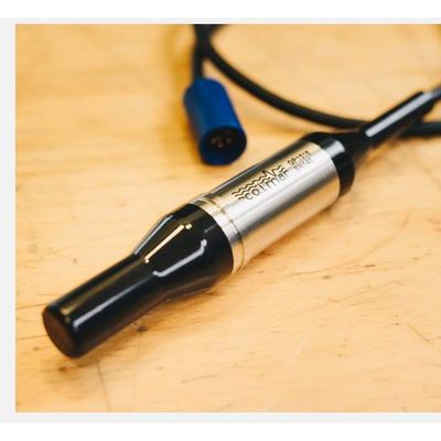
CO-L-MAR - Model GP1190 - Omnidirectional Hydrophone
The GP1190 is a preamplified omnidirectional hydrophone, suitable for a wide range of applications requiring working frequencies up to the ultrasonic range (170 kHz). The device is a professional class measurement tool.
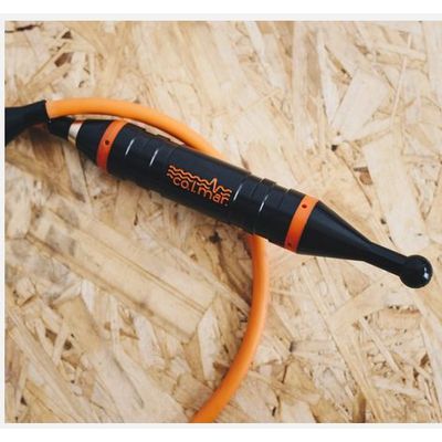
CO-L-MAR - Model GP1516 - Preamplified Cylindrical Hydrophone
Preamplified cylindrical hydrophone, suitable for a wide range of applications. The simple construction, high quality materials and a great number of accessories makes the GP1516 a reliable sensor, robust and configurable, yet affordable.
Subsea Leak Detection
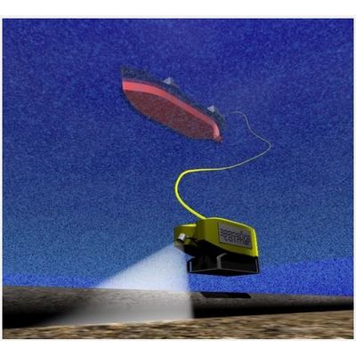
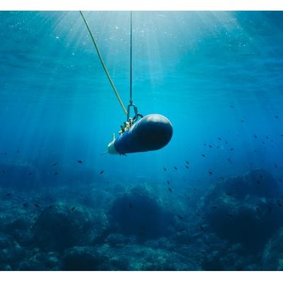
CO-L-MAR - Model ALD - Acoustic Leak Detector System
ALD acoustic leak detector is a patented technology of CO.L.MAR., which has benefited from the development of submarine inspection techniques and from the constant updating of equipment, in order to always work with cutting-edge tools and instruments. The ALD® service, including equipment and operators is supplied to promptly detect existing subsea leaks or, during pressure test of subsea installations, to guarantee an immediate inspection in case of pressure loss. ALD is an essential tool for pipeline integrity inspection and generally for IRM (inspection repair maintenance) activities.
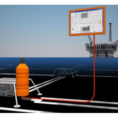
CO-L-MAR - Acoustic Leak Monitor (ALM)
The Acoustic Leak Monitor (ALM) is an application of Acoustic Leak Detector ALD® technology for the monitoring of subsea installations for leaks of any fluid (gas, oil, hydraulic oil, etc.). The system has been designed to promptly detect leaks arising in the area surrounding the installation point. ALM is composed by a Subsea Unit (SSU) and a Top Side Unit (TPU) connected by a RS485/Ethernet link.
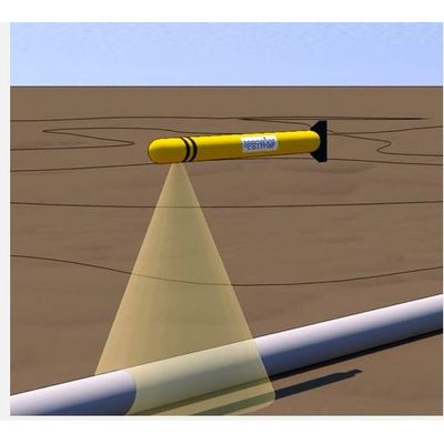
CO-L-MAR - Model ALD - AUV Inspection Mode
This ALD® AUV mode has been designed to be installed into an autonomous unmanned vehicle; is a stand alone version able to record the data to be post processed after the inspection using the standard ALD® software. Data are also subject to a light processing in real time calculating a leak proabability index.
Noise Monitoring & Assessment
CO-L-MAR - Underwater Noise Measurement Monitoring Systems
Since the importance of underwater noise in the assessment of the environmental impact of vessels and offshore units has emerged, Co.l.mar. has completed a great number of underwater noise measurements and monitoring campaigns, from Borneo to the North Sea.
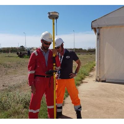
Geophysical Surveys
CO-L-MAR - Seafloor Mapping and Classification Vessel
These surveys are carried out every time is requested to know in details the seafloor morphology and habitats:
CO-L-MAR - Shore and Coastline Topography Scan Sonar
The Shore and coastline survey along with bathymetric studies are the means to observe the beach evolution and the interactions between the land and the sea. The analysis of the coast modification is the basis for researches about erosion phenomena and beaches nourishing due to natural or anthropogenic actions. This kind of survey along with bathymetric studies are the means to observe the beach evolution.
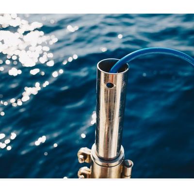
CO-L-MAR - Singlebeam and Multibeam Echosounder
Bathymetric surveys are carried out every time is requested to know in details the seafloor morphological conformation. The bathymetry would be performed by mean of singlebeam or multibeam echosounder. The parameter to evaluate the quality of bathymetric survey is the reliability and accuracy obtained (up to 5x5cm by mean multibeam). On the survey vessel the echo sounder data and the GPS positioning information are recorded and displayed by the navigation system. Afterwards the data are processed with tide level correction and coordinates conversion. Finally, the data can be displayed with different formats: elevation maps, contour lines maps, profiles, 3D images (above 3d sections in a pipelines shore approach) and volumes computation.