

e-GEOS products
DigitalGlobe
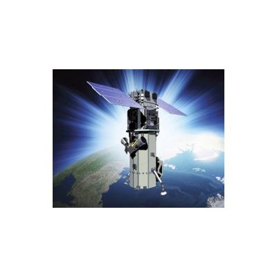
QuickBird - Satellite Sensor
QuickBird was successfully launched October 18, 2001 at Vandenberg Air Force Base, California, USA. Currently it is only possible to purchase QuickBird archive images. Using a state-of-the-art BGIS 2000 sensor, QuickBird satellite collects image data to 0.65m pixel resolution degree of detail. This satellite is an excellent source of environmental data useful for analyses of changes in land usage, agricultural and forest climates. QuickBird`s imaging capabilities can be applied to a host of industries, including Oil and Gas Exploration and production (E&P), Engineering and Construction and environmental studies.
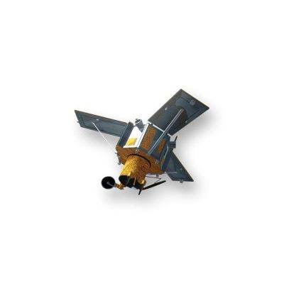
IKONOS - Satellite Sensor
IKONOS Satellite Sensor (0.82m) was successfully launched as the first commercially available high resolution satellite sensor on September 24, 1999 at Vandenberg Air Force Base, California, USA. Currently it is only possible to purchase IKONOS archive images.
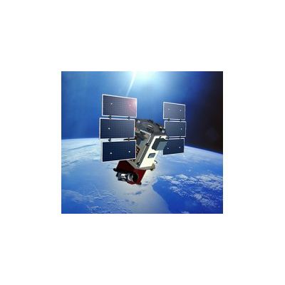
WorldView-3 - Satellite Sensor
WorldView-3 was licensed by the National Oceanic and Atmospheric Administration (NOAA) to collect in addition to the standard Panchromatic and Multispectral bands, eight-band short-wave infrared (SWIR) and 12 CAVIS imagery. The satellite was successfully launched on August 13, 2014. Watch satellite launch.