

e-GEOS products
COSMO-SkyMed
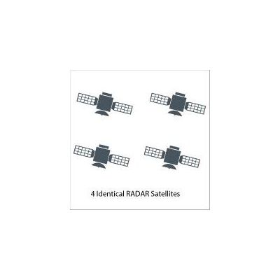
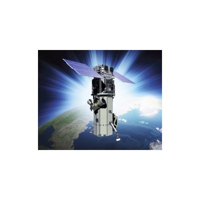
The COSMO-SkyMed system is a constellation of four radar satellites for Earth Observation founded by the Italian Space Agency and the Italian MoD. COSMO-SkyMed is at the forefront of technology and uses high-resolution radar sensors to observe the Earth day and night, regardless of weather conditions. The constellation is fully operational since the 2008. Its purpose is to monitor the Earth for the sake of emergency prevention (management of environmental risks), strategy (defense and security), scientific and commercial purposes, providing data on a global scale to support a variety of applications among which risk management, environment protection, natural resources exploration, land management, defense and security. e-GEOS (ASI/Telespazio Company) is the world-wide exclusive distributor of COSMO-SkyMed and operates, on behalf of ASI, the IC-UGS (Italian Civilian User Ground Segment) at the Matera Space Center.
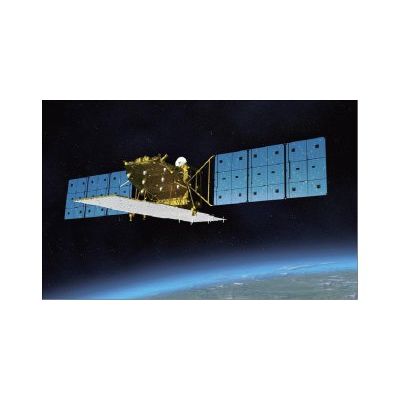
Model ALOS-2 - Satellite Sensor
ALOS-2 is the follow-on JAXA L-SAR satellite mission of ALOS (Daichi) approved by the Japanese government in late 2008. The overall objective is to provide data continuity to be used for cartography, regional observation, disaster monitoring, and environmental monitoring.The post-ALOS program of JAXA has the goal to continue the ALOS (nicknamed Daichi) data utilization - consisting of ALOS-2 (SAR satellite) and ALOS-3 (optical satellite) in accordance with Japan`s new space program.
DigitalGlobe
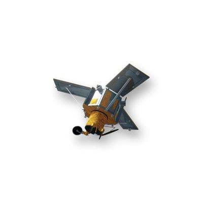
QuickBird - Satellite Sensor
QuickBird was successfully launched October 18, 2001 at Vandenberg Air Force Base, California, USA. Currently it is only possible to purchase QuickBird archive images. Using a state-of-the-art BGIS 2000 sensor, QuickBird satellite collects image data to 0.65m pixel resolution degree of detail. This satellite is an excellent source of environmental data useful for analyses of changes in land usage, agricultural and forest climates. QuickBird`s imaging capabilities can be applied to a host of industries, including Oil and Gas Exploration and production (E&P), Engineering and Construction and environmental studies.
IKONOS - Satellite Sensor
IKONOS Satellite Sensor (0.82m) was successfully launched as the first commercially available high resolution satellite sensor on September 24, 1999 at Vandenberg Air Force Base, California, USA. Currently it is only possible to purchase IKONOS archive images.
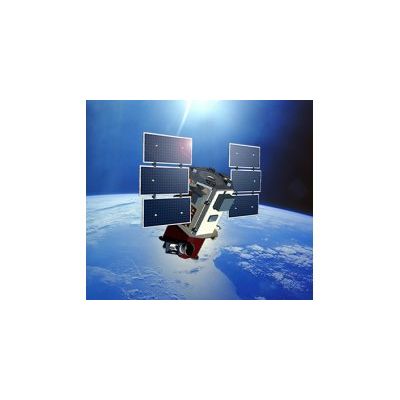
WorldView-3 - Satellite Sensor
WorldView-3 was licensed by the National Oceanic and Atmospheric Administration (NOAA) to collect in addition to the standard Panchromatic and Multispectral bands, eight-band short-wave infrared (SWIR) and 12 CAVIS imagery. The satellite was successfully launched on August 13, 2014. Watch satellite launch.