EagleNXT products
Drones
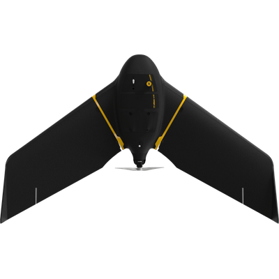
EagleNXT - Model eBee X - Lightweight Mapping Drone for Large Coverage And Sharp Data
eBee X offers 90-minute flights, RTK, PPK, online training, eMotion flight planning software, and more. Perform professional mapping operations, including flying safely over people and BVLOS, with the NDAA-compliant eBee X drone.
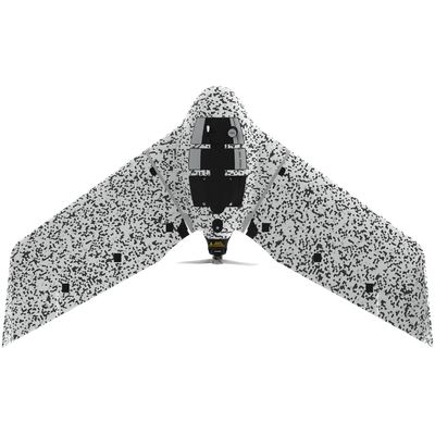
EagleNXT - Model eBee TAC - Cyber-Secure Governmental And Tactical Mapping Drone
Perform in disconnected environments to act precisely. eBee TAC can be operated by one person and deployed in 3 minutes. 3D models, thermal and orthomosaics maps sharable locally.
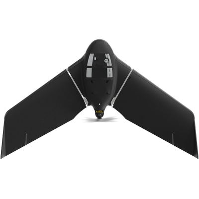
EagleNXT - Model eBee TAC - Public Safety Drone
Carried in a backpack, operated by one person, and deployed in 3 minutes, eBee TAC Public Safety is a photogrammetry drone that provides 2D, 3D and thermal aerial data over large areas.
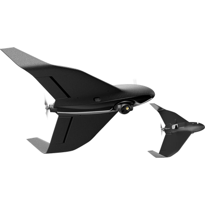
EagleNXT - Model eBee Vision - Drone
For public safety agencies and Intelligence, Surveillance & Reconnaissance (ISR) missions
Sensors - MicaSense Series
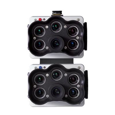
EagleNXT - Model RedEdge-P dual - High-Resolution Multispectral Sensor
High-resolution multispectral and RGB composite drone sensor with a Coastal blue band.
Sensors - eBee Series

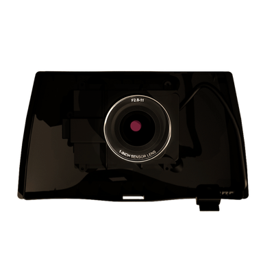
EagleNXT - Model eBee-Aeria X - High-Resolution RGB Camera for Precision Mapping
This rugged camera offers the perfect blend of size, weight and DSLR like image quality. It captures stunning image detail and clarity, in virtually all light conditions, allowing you to map for more hours per day than ever before.
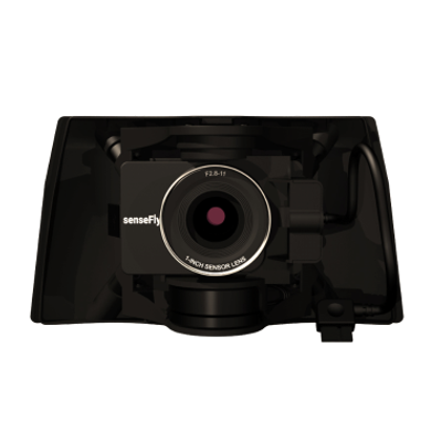
EagleNXT - Model eBee -S.O.D.A. 3D - Photogrammetry Sensor
Photogrammetry sensor optimized for 3D mapping applications. The S.O.D.A. 3D mapping camera is a professional drone photogrammetry camera that changes orientation during flight to capture three images (2 oblique, 1 nadir) every time, instead of just one, for a much wider field of view.