

EagleNXT
4 products found
EagleNXT products
Drones
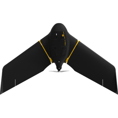
EagleNXT - Model eBee X - Lightweight Mapping Drone for Large Coverage And Sharp Data
eBee X offers 90-minute flights, RTK, PPK, online training, eMotion flight planning software, and more. Perform professional mapping operations, including flying safely over people and BVLOS, with the NDAA-compliant eBee X drone.
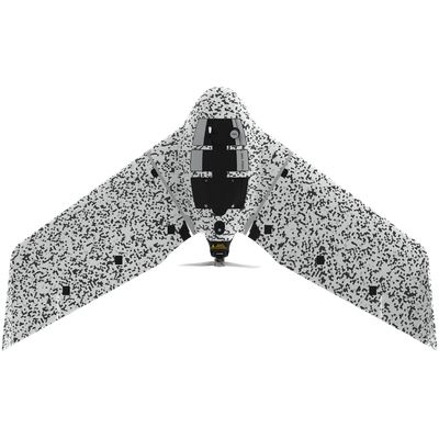
EagleNXT - Model eBee TAC - Cyber-Secure Governmental And Tactical Mapping Drone
Perform in disconnected environments to act precisely. eBee TAC can be operated by one person and deployed in 3 minutes. 3D models, thermal and orthomosaics maps sharable locally.
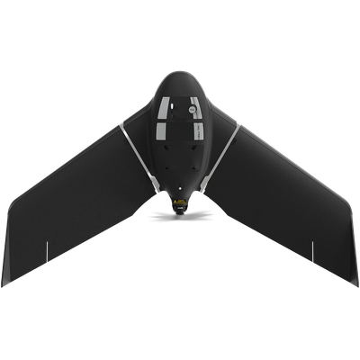
EagleNXT - Model eBee TAC - Public Safety Drone
Carried in a backpack, operated by one person, and deployed in 3 minutes, eBee TAC Public Safety is a photogrammetry drone that provides 2D, 3D and thermal aerial data over large areas.
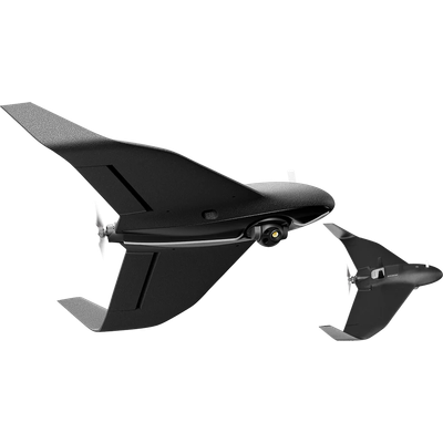
EagleNXT - Model eBee Vision - Drone
For public safety agencies and Intelligence, Surveillance & Reconnaissance (ISR) missions