

EagleView
4 software found
EagleView software
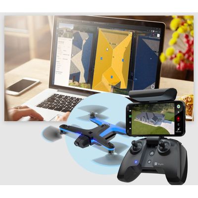
Model EagleView Assess - Drone Solutions for Roof Inspections and Damage Detection
EagleView Assess™ uses simple-to-fly, fully autonomous drones to deliver clear and consistent property imagery, precise measurements, AI-powered damage detection, and automated workflows to streamline insurance claims and storm repairs. Complement EagleView’s extensive library of high-quality aerial imagery and property reports with real-time, drone-powered site inspections, and get the property detail you need without climbing the roof. With convenient drone solutions for insurance claims managers and roofing contractors, EagleView Assess™ is available when and where you need it. Equip your field teams with the drone hardware and software, plus leverage our nationwide network of Part 107-licensed drone pilots to extend your service area.
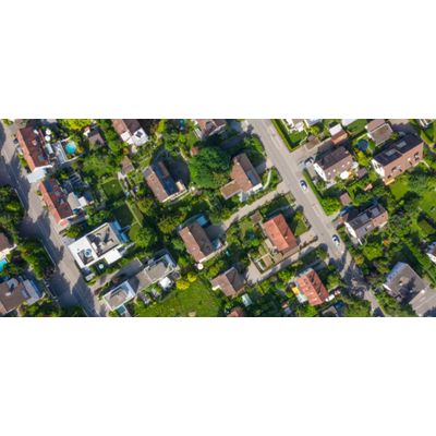
Model EagleView Cloud - High-Resolution, Frequent Aerial Imagery for Informed Decision-Making
Coverage and Clarity for Better Imagery and Insights: EagleView Cloud is a one-stop shop for people who need access to data and intelligence derived from high quality and frequently captured aerial imagery to make better decisions. With solutions for Government, Roofing, Solar, Insurance, Infrastructure, and Property Intelligence providers, this subscription-based service delivers both recency and coverage to enable data-driven decisions and power business growth.
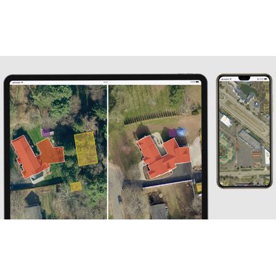
Model Bid Perfect - Roof Data from Eagleview
Win more bids with Bid Perfect™, the next generation of roof data from EagleView. Provide highly-accurate bids at the sales stage, and then easily upgrade to a Premium Report when you’re ready to order materials. With fast delivery and a price that can support every job you bid, Bid Perfect™ helps you create quick estimates and close more jobs.
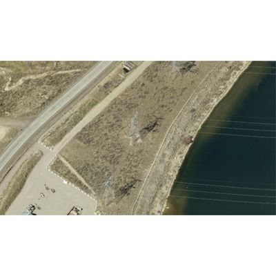
Model EagleView Reveal - Portfolio of High-Resolution Aerial Imagery
EagleView Reveal™ is a portfolio of high-resolution aerial imagery derived from unique image capture and processing systems pioneered by EagleView, formerly Pictometry. With highly detailed orthomosaic and oblique imagery and 360-degree views, Reveal delivers a complete virtual solution for making accurate planning decisions without the time, expense, and safety risk of on-site visits.