
Environmental Software Online, LLC/Groundwater Software software
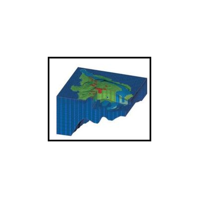
Didger - Model 4 - Geoprocessing Toolbox
Discover the Ultimate Geoprocessing Toolbox! All the advanced features you need in a low-cost, unbelievably versatile program. There has never been a more comprehensive, powerful, all-in-one software solution that provides an easy-to-use and intuitive user interface for digitizing, geographic referencing, reprojection, tiling, and mosaicking. Didger solves the problem of combining data files in different coordinate systems, by providing extensive tools to transform the data into one cohesive coordinate system. You can use Didger to precisely convert paper maps, graphs, aerial photographs, or any other plotted information into a versatile digital format that you can use with other software. Didger can create new maps from the ground up or edit any map, drawing, image, or data set imported into it.
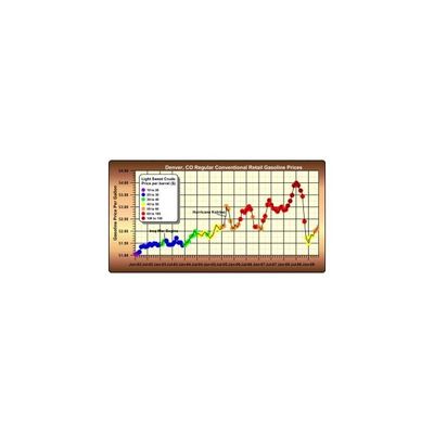
Grapher - Model 8 - Technical Graphing Package Software
A Technical Graphing Package for Scientists, Engineers and Business Professionals. Grapher is the ultimate technical graphing package available. This easy-to-use, powerful, and dynamic program will have you creating publication-quality graphs in minutes! The superior, professional, impressive graphs will be wowing your audience every time they see your graphs.
HYDRUS - Microsoft Windows Program for Simulating Water Flow and Solute Transport
A Microsoft Windows Program for Simulating Water Flow and Solute Transport in Two- and Three-Dimensional Variably Saturated Media.
MapViewer - Model 7 - Mapping and Spatial Analysis Tool
MapViewer is an affordable mapping and spatial analysis tool that allows you to produce publication-quality thematic maps easily. Small businesses, large corporations, independent consultants, scientists, GIS analysts, and numerous government agencies are discovering important trends in their data with MapViewer. Display your data distribution easily and precisely with more easy-to-use features than ever. Your data is unique and you need the best mapping software for the job!
Modflow Surfact - Model 4 - Advanced 3D Modeling Environment Software
MODFLOW-SURFACT™ is a powerful 3D finite-difference flow and transport modeling code that offers substantial advancements over public-domain versions of MODFLOW. For example, MODFLOW-SURFACT™ addresses rewetting of drained cell, handling of pumping wells, solute transport problems, numerical dispersion and oscillations, and impacts of transient flow storage effects on transport. What’s more, highly efficient, mass-conserving algorithms enable MODFLOW-SURFACT™ Version 4 to deliver accurate solutions faster than ever before.

Pocket ESA - Generate Phase I ESA Report Software
Pocket ESA has been designed to minimize the amount of time required to generate a Phase I ESA report while maximizing user flexibility when generating the final report. The program is used to collect answers to pre-designed questions. These answers are then merged with a report template and a standard report is generated for the Phase I ESA. The merging process allows the user to insert different responses and paragraphs into the report depending upon how a question is answered. Data collection can be performed either with a Pocket PC or laptop.
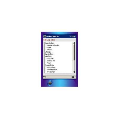
Pocket Winlog - Handheld PC Boring Log and Borehole Data Collection Software
Pocket WinLoG has revolutionized the way borehole and well data is collected in the field. It has never been so easy to enter borehole data and create logs. You are guaranteed to reduce hours of data entry and editing by selecting a pre-designed template and using the quick macros provided in the program. Once all your information has been inputted, you can upload or email the data to your desktop for further editing and printing.
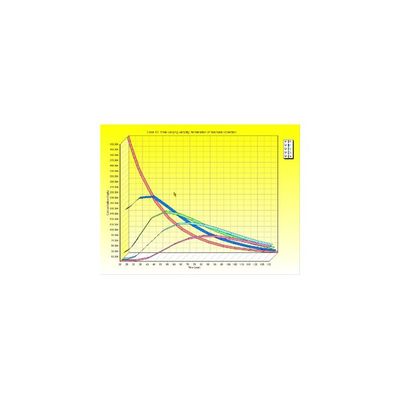
Pollutev7 - Comprehensive Contaminant Migration Analysis Software
Pollutev7 has taken over three years to develop and represents a major upgrade in the design and performance of the very popular POLLUTE program. The new Windows Interface makes the creation, editing, execution, printing and displaying of models very easy and flexible. Models can be created from scratch, using the program Wizard or by selecting one of the many pre-created models. The POLLUTEv7 program provides fast, accurate, and comprehensive contaminant migration analysis capabilities. This program implements a one and a half dimensional solution to the advection-dispersion equation. Unlike finite element and finite difference formulations, POLLUTEv7 does not require a time-marching procedure, and thus involves relatively little computational effort while also avoiding the numerical problems of alternate approaches.

Model RBCA Tier 2 - 2-D Groundwater Flow and Biodegradation Modeling Software
The RBCA Tier 2 Analyzer utilizes a innovative analytical flow solution for fast and easy modeling of complex groundwater flow systems, it provides a rigorous treatment of the many complex reactions and processes involved with the biodegradation of contaminated groundwater. These two features make it the ideal software package for applications including: Simulating natural attenuation of contaminated groundwater, Evaluating groundwater pump-and-treat remediation systems, or Predicting downstream impacts for risk assessment studies.
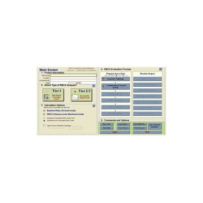
GSI RBCA - Model V2.6 - Tool Kit for Chemical Releases Software
Designed to meet the requirements of the ASTM Standard Guide for Risk-Based Corrective Action (E-2081), the RBCA Tool Kit for Chemical Releases, version 2.6, now provides expanded flexibility and additional risk and transport models to allow for even easier application of this essential software tool to develop risk-based soil and groundwater clean-up levels consistent with local regulations or requirements around the world.