
farmB Digital Agriculture S.A. software
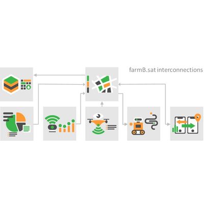
farmB - Model farmB.sat - Satellite Data Processing Module
farmB.sat module is your eye from space, offering satellite data at plot level. The process is fully automated, from data retrieval to processing and visualization. A step beyond single dimensional reporting of indices, farmB.sat generates user-preferable zones, paths, areas, and prescription maps to serve the field workflow
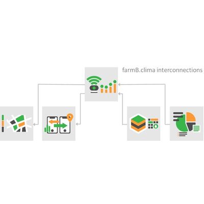
farmB - Model farmB.clima - Climate Data Monitoring Module
farmB.clima module integrates available climatic data ranging from open meteorological data to dedicated sensors networks installed in your field. farmB.clima exploits interoperable data to propose sensor array configurations tailored to your needs.
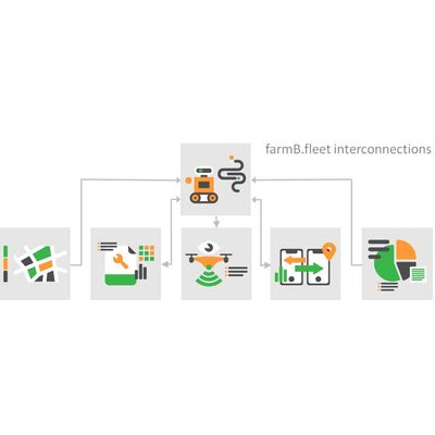
farmB - Model farmB.fleet - Fleet Management Module
farmB.fleet module extends the usability of the system to machinery. Natively export and import ISOXML, CSV and other file formats used by agricultural machinery allows you to monitor running or plan up-coming. Data streams from machinery, crop, soil and other sources are fused into actionable information for cultivation consultants.