

- Home
- Companies
- Geokon A/S
- Software
Geokon A/S software

Geokon - Case Environmental Management Software
Case Management is a data management tool for Environmental Health Officers.
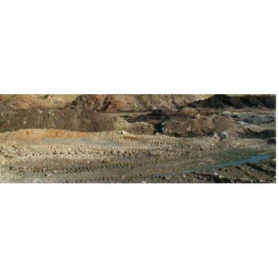
Geokon - Contaminated Land Software
Mapping potentially contaminated sites will for most authorities, result in the generation of large amounts of data. This information will be used for a variety of purposes including prioritizing sites, informing colleagues (i.e. planners, valuers, housing officers), reporting to the Environment Agency and communicating risk to the professional and general public. The data resource will also form the basis of an historical land use archive which will be used for many years to come. It is therefore important that a robust and flexible Data Management System (DBMS) is employed for managing this data.

Geokon - Site Survey Software
The purpose of site investigation is to compile an appropriate information base about a particular site. Data management embraces the whole range of activities involved in the handling of data gathered. The GeoEnviron Site Survey Manager has been designed to facilitate efficient and effective data management as well as interpretation, and decision making during site investigations.
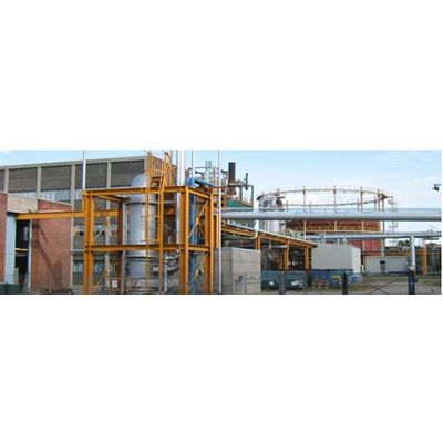
Geokon - Pollution, Prevention and Control Software (PPC)
Recent PPC regulations have substantially increased the burden placed upon local authorities to not only ensure that industrial pollution is reduced, but also to demonstrate that they are implementing the regulations in a transparent and cost-effective manner.
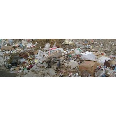
Geokon - Waste Management Software
Handling waste and waste streams includes huge amounts of data to be treated accurate and fast. A long row of stakeholders are involved for example waste producers, waste carriers, treatment and disposal plants, waste authorities, consultants, and the public. Impact from waste streams has to be considered using information of affected recipients such as surface waters, water catchment areas, eco localities, and urban settlements.

Geokon - Water Supply Module
The Water Supply module has been designed to handle data generated during the administrative and technical activities associated with the management of treated and untreated water in water works and distribution systems. Water quality monitoring programs for example, involve taking large numbers of samples and analyzing them for a wide range of parameters over a long period of time. This invariably results in the generation of large amounts of data which often need to be presented in different formats including time series and other graphs for a variety of interested parties.

Geokon - Surface Waters Software
In large parts of the World one of the main problems is contamination of rivers intensified by the facts that the same rivers and surface waters in general are heavily used as base for supply of drinking water. In order to measure and control the quality of surface waters the Recipient Module of GeoEnviron has been developed with special respect to river monitoring. The module describes catchment areas, rivers, and monitoring stations. The catchment area is described with respect to location, size, population, industries and type of households within the area.
Geokon - Web Solutions Software
Most Governments have an ‘e-vision’ for the public sector and it requires that local authorities deliver the major part of their services electronically over time. It acknowledges that the ability of the public sector to deliver high quality services depends upon the effective use and sharing of knowledge and information. In terms of information sharing, this means that data held within environmental departments should be accessible to local authority officers as well as to external agencies (i.e. Environment Agency) and the interested public (residents, surveyors, etc).
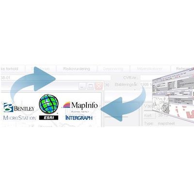
Geokon - GIS Integrations Software
GeoEnviron’s GIS solutions provide practical mapping capabilities alongside the powerful data management facilities available within the GeoEnviron RDBMS. They come in two forms - an embedded GIS known as GeoMap, or a link to an external GIS (MapInfo Professional or ArcView).