

Geomar Software Inc. software
TrackMaker

Geomar - Model TrackMaker31 - Field Data Acquisition Software
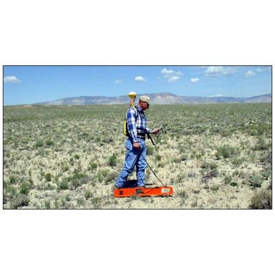
The Geomar TrackMaker31 system consists of two programs: field data acquisition component (NAV31) and the Windows (98/2K/XP) based data processing software (TrackMaker31). The program NAV31 is designed for Allegro field computer (NAV31P for Pro4000 is included), although, if necessary it can be used with any other IBM compatible computer running an MS DOS operating system and equipped with two serial ports. TrackMaker31 software works with virtually any GPS receiver by supporting NMEA messages: GGA, POS, GLL, LLQ, LLK, GGK, and Leica Robotics Total Station TPS1100, and collects EM31 and GPS data into one file simultaneously, while providing a graphical view of the collected GPS positions to better control the survey line direction. A profile view of the collected EM31 data is provided for the improvement of field data quality analysis.
Geomar - Model TrackMaker38 - Field Data Acquisition Software
The Geomar TrackMaker38 system consists of two programs: field data acquisition component (NAV31) and the Windows (98/2K/XP) based data processing software (TrackMaker38). The program NAV38 is designed for Allegro field computer (NAV38P for Pro4000 is included), although, if necessary it can be used with any other IBM compatible computer running an MS DOS operating system and equipped with two serial ports.

Geomar - Model TrackMaker38DD - Field Data Acquisition Software
The Geomar TrackMaker38DD system consists of two programs: field data acquisition component (NAV38DD) and the Windows (98/2K/XP) based data processing software (TrackMaker38DD). The program NAV38DD is designed for Allegro field computer (NAV38DDP for Pro4000 is included), although, if necessary it can be used with any other IBM compatible computer running an MS DOS operating system and equipped with two serial ports.
Geomar - Model TrackMaker38B - Field Data Acquisition Software
The Geomar TrackMaker38B system consists of two programs: field data acquisition component (NAV38B) and the Windows (98/2K/XP) based data processing software (TrackMaker38B). The program NAV38B is designed for Allegro field computer (NAV38BP for Pro4000 is included), although, if necessary it can be used with any other IBM compatible computer running an MS DOS operating system and equipped with two serial ports. TrackMaker38B software works with virtually any GPS receiver by supporting NMEA messages: GGA, POS, GLL, LLQ, LLK, GGK, and Leica Robotics Total Station TPS1100, and collects EM38B and GPS data into one file simultaneously, while providing a graphical view of the collected GPS positions to better control the survey line direction. A profile view of the collected EM38B data is provided for the improvement of field data quality analysis.
Multi-Unit Software
Geomar - Model Multi61MK2 - Field Data Logging Software
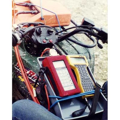
The Geomar Multi61MK2 system consists of two programs: field data acquisition component (ML61MK2) and the Windows (98/2K/XP) based data processing software (Multi61MK2). The program ML61MK2 is designed for Allegro field computer (separate program prepared for Pro4000 is included), although, if necessary it can be used with any other IBM compatible computer running an MS DOS operating system and equipped with adequate number of serial ports. Multi61MK2 software works with virtually any GPS receiver by supporting NMEA messages: GGA, POS, GLL, LLQ, LLK, GGK, and Leica Robotics Total Station TPS1100, and collects up to 5 EM61-MK2 and GPS data into one file simultaneously.
Multi - Model 61 - Field Data Acquisition Software
The Geomar Multi61 system consists of two programs: field data acquisition component (ML61) and the Windows (98/2K/XP) based data processing software (Multi61). The program ML61 is designed for Allegro field computer (separate program prepared for Pro4000 is included), although, if necessary it can be used with any other IBM compatible computer running an MS DOS operating system and equipped with adequate number of serial ports. Multi61 software works with virtually any GPS receiver by supporting NMEA messages: GGA, POS, GLL, LLQ, LLK, GGK, and Leica Robotics Total Station TPS1100, and collects up to 5 EM61 and GPS data into one file simultaneously.

Geomar - Model Multi31 - Field Data Acquisition Software
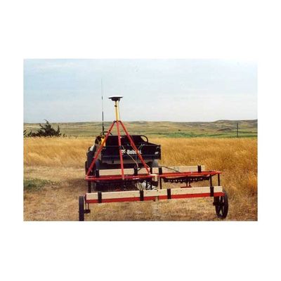
The Geomar Multi31 system consists of two programs: field data acquisition component (ML31) and the Windows (98/2K/XP) based data processing software (Multi31). The program ML31 is designed for Allegro field computer, although, if necessary it can be used with any other IBM compatible computer running an MS DOS operating system and equipped with adequate number of serial ports. The program is used as a data acquisition system for Geonics EM31-3, which employs array of three EM31s with varying transmitter and receiver separations. The ML31 is capable of recording output from up to 5 EM31 in case such system will be assembled.
LTG Software
Geomar - Model LTG31 - Field Data Logger Software
The LTG31 includes Polycorder program GPS31 which is designed for the Polycorder 600 field data logger. The GPS31 code is embedded in the LTG31 and can be uploaded to the Polycorder. The Polycorder program GPS31 allows for the display of data. While displaying, the GPS31 converts each reading to an ASCII string and outputs data to an external logging device (e.g. GPS field computer). The GPS31 can co-exist in the Polycorder together with the Geonics standard data acquisition program EM31. Uploading GPS31 to the Polycorder will not affect the performance of the EM31 program, nor will it damage the stored data file. This allows the user to have both programs in one Polycorder and to use the standard Geonics data acquisition program in areas where the GPS signal is not available without the necessity of reloading the data logger.
Geomar - Model LTG38 - LTG Software
The LTG software family contains two programs: LTG31 for EM31 and LTG38 for EM38. These programs make use of logging capabilities of the Trimble PathFinder ProXRS system to log Geonics EM31 or EM38 data. This approach allows the user of EM31 or EM38 equipped with Polycorder 600 to have electromagnetic readings, as well as GPS positions in one data file. This file can be exported by GPS data processing software to a wide variety of formats used by GIS and contouring packages.