
- Home
- Companies
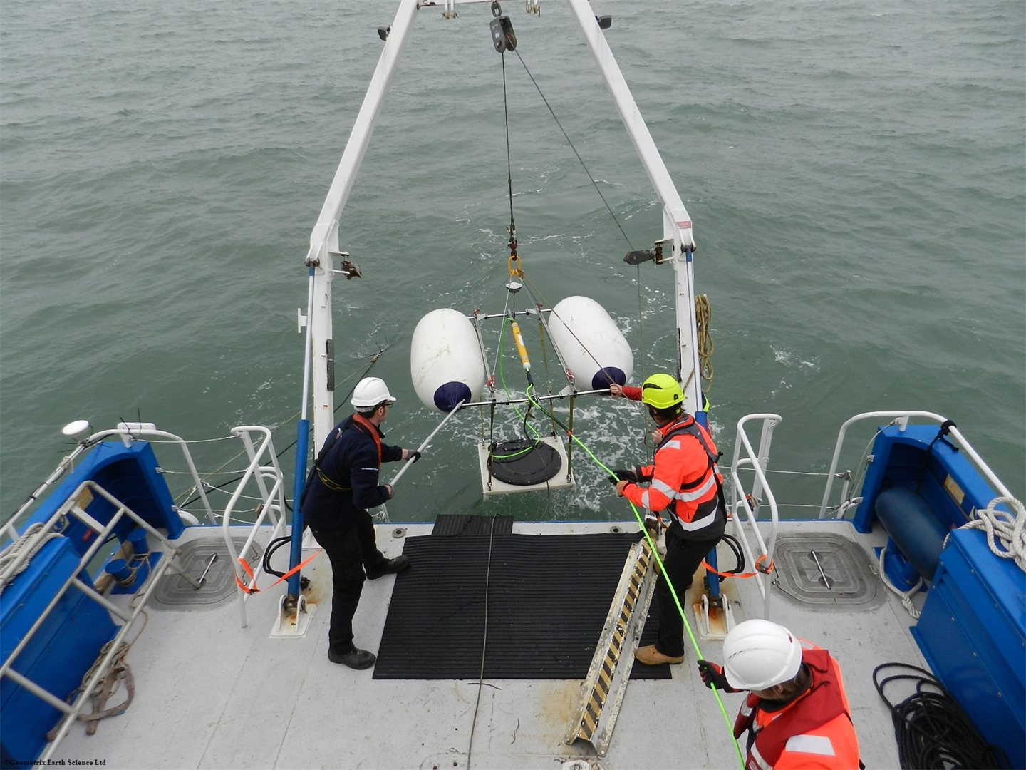
- Geomatrix Ltd
- Software
Geomatrix Ltd software
Resistivity
Res2Dinv - 2D Resistivity & IP Inversion Software
Two-dimensional (2D) electrical imaging surveys are now widely used to map areas of moderate- ly complex geology where conventional ID resistivity sounding surveys are inadequate. The RES2DINV program uses the smoothness-constrained least-squares method inversion technique (Sasaki 1992) to produce a 2D model of the subsurface from the apparent resistivity data. It is completely automatic and the user does not even have to supply a starting model. On a Pentium based microcomputer, the inversion of a single pseudosection is usually completed within minutes. It supports the Wenner, Schlumberger, pole-pole, pole-dipole, inline and equatorial di- pole-dipole, gradient and non-conventional arrays.
Res3Dinv - Resistivity Software
In areas with complex structures, there is no substitute for a fully 3D survey. The RES3DINV pro- gram is designed to invert data collected with a rectangular grid of electrodes (Loke and Barker 1996). The arrays supported include the pole-pole, pole-dipole, inline dipole-dipole, equatorial dipole-dipole and Wenner- Schlumberger and non-conventional arrays.