
- Home
- Companies
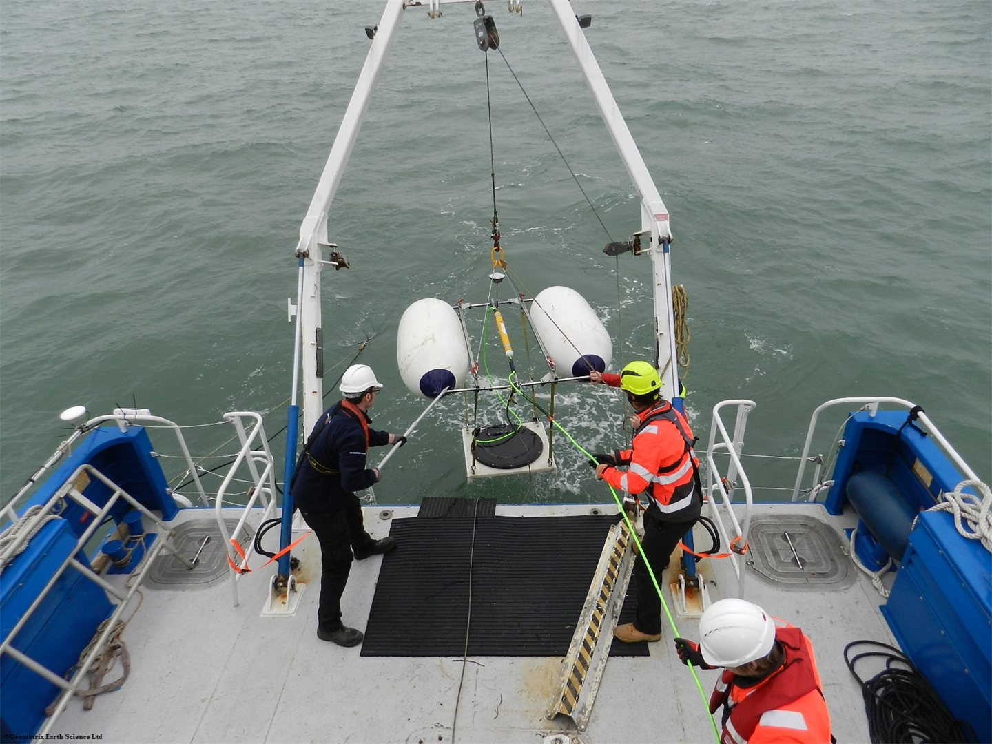
- Geomatrix Ltd
- Software
Geomatrix Ltd software
Borehole Logging
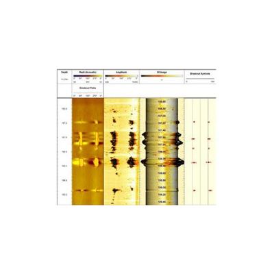
WellCAD - Borehole Analysis Software
The basic WellCAD package includes WellCAD Reader and Crossplot modules, and incorporates all features and tools necessary to import, edit, process and display your Well data. The software is delivered with a set Templates, Header, Dictionaries customized for specific application. You can easily modify existing ones or create your own. Single-user licenses, as well as network licenses available.
Magnetic
MagLog Lite - Magnetic Data Acquisition Software
MAGLOG-LITE CAESIUM MAGNETOMETER/GRADIOMETER LOGGING AND DISPLAY SOFTWARE. Package includes the ability to control and receive data concurrently from up to two G-880/881/882 Caesium Marine Magnetometer systems using CM-201/221 Counter assemblies. The system provides graphical display of total field and gradient from multiple magnetometers, altitude above seafloor, sensor depth or other analogue data input to the A/D`s on the CM-201 Counters. Diagnostic measurements for quality control are provided and include signal strength, noise (8th difference), anomaly amplitude for each sensor, plus GPS position with real time track plot display and preset alarm range.
MagPick - Magnetics Processing Software
This free (for Geometrics magnetometer owners) powerful data processing and modelling package provides data base management, file importation, girding, contouring and dipole pattern matching source body modelling for the experienced geophysicist or potential field data processor. Output includes a table of target anomaly locations and depths. Includes pre-processing of GPS locations and data reformatting.
Positioning
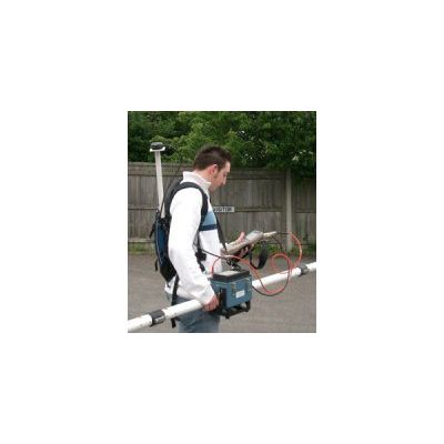
Real Time GPS Tracking Software
To keep our rental pool at the forefront of technology and to enable you to perform your surveys faster and with increased accuracy, Geomatrix has recently added the ability to track and log your position and instrument data in real time to our rental pool. The logger and special software can be added to any EM31, EM38, EM38B EM61Mk2 or EM61 Mk2 HH rental. The addition of this logger and software to our EM products virtually eliminates the need to accurately survey and peg a site prior to the data acquisition phase, resulting in a huge saving in your costs.
Resistivity
Res2Dinv - 2D Resistivity & IP Inversion Software
Two-dimensional (2D) electrical imaging surveys are now widely used to map areas of moderate- ly complex geology where conventional ID resistivity sounding surveys are inadequate. The RES2DINV program uses the smoothness-constrained least-squares method inversion technique (Sasaki 1992) to produce a 2D model of the subsurface from the apparent resistivity data. It is completely automatic and the user does not even have to supply a starting model. On a Pentium based microcomputer, the inversion of a single pseudosection is usually completed within minutes. It supports the Wenner, Schlumberger, pole-pole, pole-dipole, inline and equatorial di- pole-dipole, gradient and non-conventional arrays.
Res3Dinv - Resistivity Software
In areas with complex structures, there is no substitute for a fully 3D survey. The RES3DINV pro- gram is designed to invert data collected with a rectangular grid of electrodes (Loke and Barker 1996). The arrays supported include the pole-pole, pole-dipole, inline dipole-dipole, equatorial dipole-dipole and Wenner- Schlumberger and non-conventional arrays.
Seismic

RadExPro - Seismic Software
RadExPro is a cost effective but powerful processing suite for Windows PC`s which provides effective facilities for processing of high-resolution reflection seismic data, both off-shore and on-shore, with either impulsive or swept (Vibroseis) sources. The data can be input from one of the many standard formats supported. Those include SEG-Y, SEG-2, SEG-D, SEG-B, SEG-1, etc. Additionally, any non-standard demultiplexed data format can be easily defined and handled, including customizable trace header structure definition. A `nearly-SEG-Y-but...` file is not a problem anymore.
SiesImager - 2D Refraction Seismic Software
SeisImager/2D refraction software is a fully integrated refraction modelling and interpretation software package that runs on your Geometrics seismograph or PC.
SeisImager/DH - Interactive Processing Suite
SeiImager/DH is an interactive processing suite for determining the P and S wave velocities from downhole seismic records.
SeisImager/SW - Seismic Software
Surface waves are easy to record and loaded with information about the subsurface. With SeisImager/SW, data processing is simple, putting the answers you seek at your fingertips.