
GlobVision Inc. software
GlobVision - DVS (Data Validation System) w/WRA (Water Records Accounting) Software
GlobVision’s “Data Quality Control Decision Support System” software package, DVS (Data Validation System) for short, is a multi-user, environmental monitoring, data validation and quality monitoring system for multi-dimensional and multi-factorial sensor databases. Data mining concepts and machine learning methods have been implemented in the DVS to verify the validity of sensor readings, detect erroneous measurements and to estimate (or fill-in) missing or erroneous data. Using short-term prediction modeling, the user-friendly software provides estimated/predicted values for failed sensors and/or missing data values.

GlobVision IntelliBRIDGE - Data Management Software
GlobVision’s IntelliBRIDGE is an end-to-end software application that addresses all of the steps involved in the analysis process, from data access, data management, data visualization and monitoring, to data analysis and modeling. The result is a comprehensive system for bridge safety data management, performance monitoring and analysis. IntelliBRIDGE was adapted from the highly successful IntelliDAM software designed by GlobVision through extensive collaborations with industry, and currently in use both in Canada and abroad.
IntelliDAM - Advanced Data Analytics Software
IntelliDAMTM was born of GlobVision’s extensive know-how in advanced data analytics combined with the dam management expertise of BC Hydro and Hydro Quebec, two major hydro-electric producers in Canada. The result is the only system on the market that can be used to evaluate most aspects of dam health, behavior and safety based exclusively on instrumentation data. IntelliDAM makes it possible to manage dam monitoring data, be it from a concrete or embankment structure. Analysis and interpretation are facilitated by our unique modeling tools, thereby enabling behavior monitoring and health assessments that save time and increase safety.
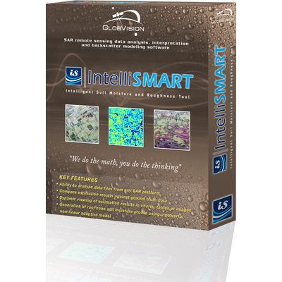
IntelliSMART - Intelligent Soil Moisture and Roughness Estimation Tool
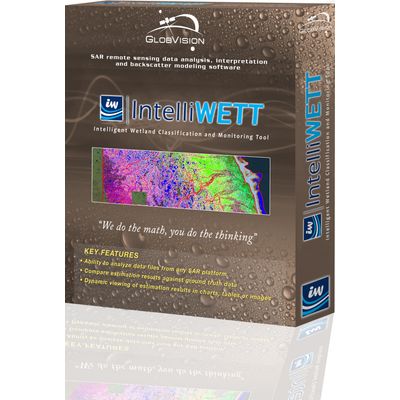
IntelliWETT - Wetland Mapping and Classification Tool
GlobVision’s wetland mapping and classification tool provides a wide variety of users with all of the tools and interfaces required to perform multi-source and multi-temporal land cover classification and surface water extent estimation based on polarimetric and multi-source data with unprecedented efficiency and accuracy. Using the software application, one can monitor water level extent and generate high-fidelity land cover maps across various land cover types and user-specified regions of interest.
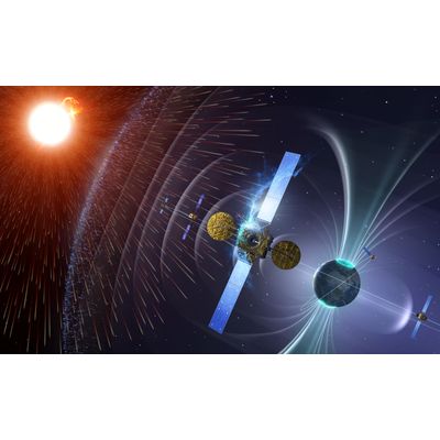
SSAVision - Space Situational Awareness (SSA) Software
SSAVision is an integrated and automated “web-centric” information service providing Space Situational Awareness (SSA) and decision support capabilities to spacecraft operators for the protection of space assets. SSAVision acquires high-fidelity space-environment data and indices from international data sources, applies innovative state-of-the-art analysis algorithms to the data, and presents the results to spacecraft operators for optimized monitoring, informed decision making and the notification of environmental and conjunction risks. Through the constant monitoring and assessment of satellites, SSAVision helps to maintain and increase the safety of space assets to meet the stringent needs of the defence space community and ensure the availability and continuity of satellite services for commercial owners and operators.