
GlobVision Inc.
- Home
- Companies
- GlobVision Inc.
- Software
- IntelliWETT - Wetland Mapping and ...
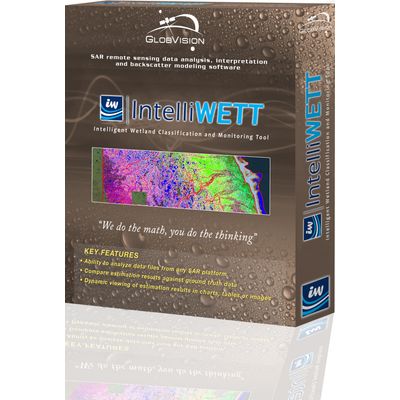
IntelliWETT - Wetland Mapping and Classification Tool
FromGlobVision Inc.
GlobVision’s wetland mapping and classification tool provides a wide variety of users with all of the tools and interfaces required to perform multi-source and multi-temporal land cover classification and surface water extent estimation based on polarimetric and multi-source data with unprecedented efficiency and accuracy. Using the software application, one can monitor water level extent and generate high-fidelity land cover maps across various land cover types and user-specified regions of interest.