

PHB Inc. services
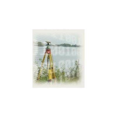
Cadastral Surveying & Mapping Services
The professional land surveyor identifies, delimits, measures and determines the location of public and private property; as well on ground level parcels, underground and above ground volumetric features surface. Its work in particular reveals for legal registration the property identification and the respective rights.
Environmental Management Studies Services
The impacts of the modern demographic explosion and important urbanization due to rapid improvements in the fields of technology and medicine are forcing governmental establishments of various countries to adapt environmental protection plans in an effort to preserve and improve the quality of its citizens lives.

Soil Erosion Services
Erosion is a natural event caused primarily by the weather phenomena. The erosion of the grounds takes several forms and has positive and negative impacts. Most researches are carried out to correct the negative impacts of erosion, often caused by human activities. Coastal erosions caused by tidal effects are usually monitored on a regular basis. Particular effects of human activities have a direct impact on soil erosion, on sediment deposits in watercourses or on the degradation of river banks and reservoirs in general.
High Risk Flood Zones Determination Surveying Services
The growing popularity of theairborne LiDAR surveyingis greatly due by its use forriver overflowandfloodplain analyses, and contributed significantly to the progress of the technology. Group PHB has been involved in airborne LiDAR surveys of floodplains since the earliest stages of this technology that started in early 1990.

Land Surveyors System and Map Services
For agricultural entrepreneurs, a major preoccupation revolves around improvements in crop management. In order to encourage controlled practices, more demanding regulations have been implemented. The need for crop classification, seeding dates, knowledge of ground depth, the comprehension of surface runoff and irrigation channels, and the calculations of estimated yields have shown that there exists a strong potential for geomatics activities for tracking agricultural growth. Through LiDAR survey systems, high precision topography of crop zones is achievable. This topography, when associated with data collected using multispectral sensors, leads to the creation of a database that collects data on each territory element. This database, which becomes the snapshot of each field, can be chronologically traced and help the decision-making in agricultural management processes.
Rock Falls and Land Slides Services
Rock falls,land slidesandcaving-inare usually caused by extremeseismic conditions, such as earthquakes or volcanic eruptions, but more frequently by the repeated water level fluctuations or by caving-in of slope bottoms.Tidal effectsare usually the cause forcliff collapsesalong shorelines. The human activities can be directly related to these events; such asconstructionin zones of medium risk,transport infrastructuresalong slopes (roads, railways, etc.) where rainwater undermines structures after time.
Powerlines Systems Analysis Services
Reliable operation of the infrastructures andensuring the supply of electricity continuously and uninterruptedto its clients is the main concern of the maintenance department of anyelectricity generator and distributor. Various causes may trigger disturbances to the infrastructures, ranging fromwear and tearto the ultimatebreakdown of the equipment. Right of way disputes, immediate geographical surroundings, meteorological conditions and environmental circumstances present constant threats requiring therefore regular preventive follow-up procedures and ongoing monitoring of the infrastructures, and power systems analysis.
Mining Survey Services
Most open-pit operationshave a lasting impact on the environment, affecting the stability of the land and often exacerbating the effects of land erosion which ultimately lead to the contamination of surrounding areas. Which is why a proper and thorough topographical survey of the affected area and a detailed evaluation of the mining potential is required to maximize the chances of success of any exploratory endeavor.
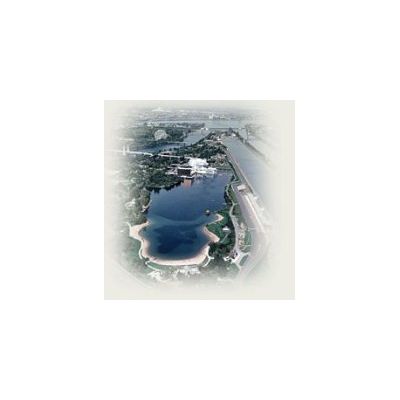
Urban Development Planning Services
Agglomeration management primarily consists of offering public and private services such as improving living conditions, safety, traffic and parking to urban residents. Urban practices can vary from one city to another according to the geographical and cultural criteria. However, the core concerns related to commercial activity, residence, circulation and alteration work remain the same while respecting both the environment and the historic inheritance.
Support & Training Services
Seldom in the past have had corporations and organizations experienced such strain fromtechnological and economical evolutionas in present days. Special training and acquiring basic know-how are proven remedies for asmooth integration of the new technologies.Training,continuous educationandencouragementto acquire new competencies and develop modern approaches of the personal is a very beneficial investment for any organization to stay competitive in the ever more specialized markets. Moreover,specialized trainingcontributes to the success of the organization and gives value to the employer. In addition, it favors innovation and common practices amongst the employees, and in turn improves theteam`s forceandcommon spirit.