
Rezatec software
Water SAT: Water Infrastructure & Catchment Management
Rezatec - Geospatial AI for Pipeline Risk Monitoring
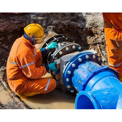
Focus investment on the top 20% of risks for greatest impact. Use Pipeline Risk to identify highest risk pipeline sections and focus upgrade resources on what matters. Zero-in on what matters: Pipeline Risk enables water leaders to remotely determine the highest risk of pipeline failure across the entire network - and upgrade it - ahead of time. It establishes the likelihood, consequence and cost of failure using satellite and multiple data feeds fused with the most advanced AI on the market. And it’s 10% more accurate than other risk models. Use these constantly refreshed insights to prioritize, plan and optimize investment, drive productivity gains and maximize water value.
Rezatec - Geospatial AI for Water Quality Monitoring
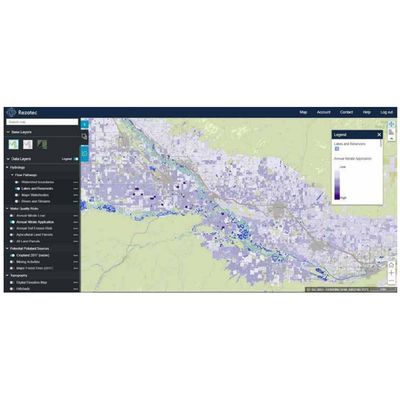
Track the effects of land use on water quality across wide watersheds. Proactively manage upstream pollution risks to reduce the requirement for costly downstream treatment. Remote. Cost-effective. Scalable. Water Quality empowers water utilities leaders to remotely monitor issues across entire water catchment areas: remotely, at scale, cost-effectively. It predicts land use change and environmental risk, and it provides sub-catchment insights into how land use impacts pollution levels. Satellite and multiple data feeds combine with advanced AI to track changing issues across watersheds. Use it to identify and dynamically manage diffuse pollution levels resulting from changing land use.