

Riverside Technology, inc. software
Earth Observations and Satellite Systems
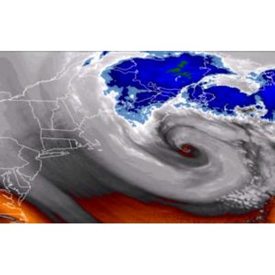
Riverside - Earth Observations and Satellite Systems
Riverside offers technical support and engineering services that assist agency satellite development programs and utilize remotely sensed Earth observations.
Atmospheric and Hydrologic Sciences
Riverside - National Weather Service (NWS) Community Hydrologic Prediction System (CHPS)
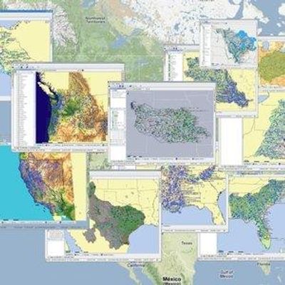
Web mapping and Web GIS are revolutionizing how users access GIS data and functionality, providing capabilities for more informed decision-making. Riverside uses, esri, Google Maps and Google Earth to visualize a variety of data and model results. Riverside provides its clients with high-quality websites embedded with custom Google Maps, and produces KML files of much of its project results and deliverables for use in Google Earth. Riverside gives clients on-line access to high-end GIS and mapping services via the Internet. Custom-designed, browser-based applications feature intuitive, easy-to-use interface and visually appealing display.
Climate Risk
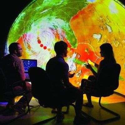
Riverside - Climate Data Tool
Riverside was awarded Phase I and Phase II of a Small Business Innovation Research (SBIR) grant through the National Oceanic and Atmospheric Administration (NOAA) for a data integration and visualization tool that will enable communities to assess climate-related risks, visualize impacts and potential adaptation measures, and communicate real-time information at a neighborhood scale.