

Riverside Technology, inc.
Refine by
Families
1 software found
Riverside Technology, inc. software
Atmospheric and Hydrologic Sciences
Riverside - National Weather Service (NWS) Community Hydrologic Prediction System (CHPS)
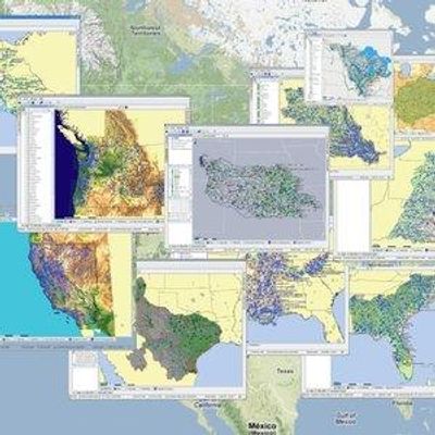
Web mapping and Web GIS are revolutionizing how users access GIS data and functionality, providing capabilities for more informed decision-making. Riverside uses, esri, Google Maps and Google Earth to visualize a variety of data and model results. Riverside provides its clients with high-quality websites embedded with custom Google Maps, and produces KML files of much of its project results and deliverables for use in Google Earth. Riverside gives clients on-line access to high-end GIS and mapping services via the Internet. Custom-designed, browser-based applications feature intuitive, easy-to-use interface and visually appealing display.