

Terrastar services
TerraStar-M
TERRASTAR-M is a global GNSS augmentation service designed for users who need reliable, accurate position with a high level of integrity. Based on L1 carrier and C/A code observations, TERRASTAR-M provides metre-level position accuracy by calculating pseudo-range corrections using a single difference technique for both GPS and GLONASS satellites. Correction data is delivered seamlessly by both high and low power satellite broadcasts, worldwide.
TerraStar-D
The TERRASTAR-D service is a precise positioning service designed to deliver decimetre level position accuracy, globally. The service is based around Precise Point Positioning (PPP) - a technique where all GPS system errors are removed or minimised by direct calculation, precise modelling or estimation. PPP consists of a single set of corrections to the GPS and GLONASS satellite orbits and clocks, allowing position accuracy to be maintained regardless of user location. Measurement precision is achieved by using both L1 and L2 carrier phase observations, along with C/A and P-Code measurements.
TerraStar C
TerraStar-C is an advanced GNSS correction dataset delivered globally from our high availability infrastructure. It complements the other TerraStar datasets, and allows our Partners to further improve the accuracy and robustness of the real-time solution they provide. Dual-frequency code and carrier-phase capable receivers combine the TerraStar-C data with state-of-the-art error models and positioning algorithms to remove and reduce errors to the maximum possible extent. Using both GPS and GLONASS satellites helps maintain the expected level of accuracy even in more difficult user environments, and reduces the solution convergence time.
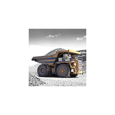
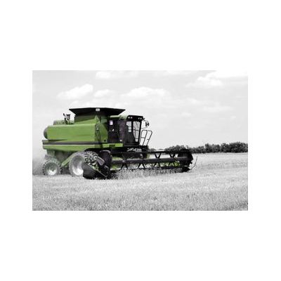
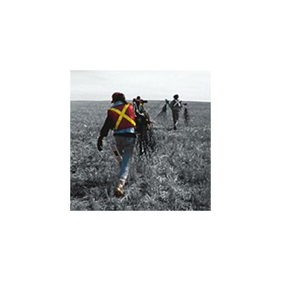
Mining
TerraStar precise positioning is ideal for many mining applications:
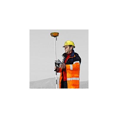
Land Oil & Gas
TerraStar land DGNSS services can be used for precise positioning at all stages of onshore hydrocarbons exploration and production, from initial reconnaissance, planning and seismic acquisition programmes, to drilling, pipelaying and facilities layout and construction. TerraStar receiver and processing capability is now fully integrated into a range of TerraStarcompatible receivers including pole mounted survey and vehicle mounted units. These are available from several TerraStar
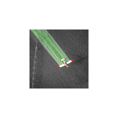
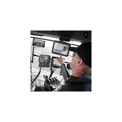
Aerial
TerraStar positioning is ideal for aerial applications as diverse as