

Terrastar
Most popular related searches
- Aerial survey
- Photogrammetry
- Mapping
- Airborne geophysics
- Avionics and flight testing
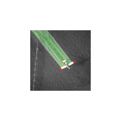
- Crop and forestry spraying
DGNSS techniques are thoroughly proven in all these applications. Embedded into cost effective TerraStar compatible receivers, reliable decimetric and metric accuracies at high updates rate are available in a lightweight robust package that can easily be mounted in a fixed or rotary wing aircraft. Integration into navigation, display, control, and avionics packages is straightforward, using industry standard protocols.