
Terratec Geophysical Services services
Mining Services
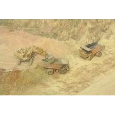
Geophysical methods are used in all stages of mineral exploration and mining.picture of lorries in an open pit mine. In Greenfield Stage surface geophysical methods like induced polarization, magnetics/electromagnetics and gravity are adding value to existing geological and geochemical data for the definition of high priority drill targets. During ongoing drilling projects the geophysical methods can be applied from surface, around and in-between boreholes to provide information on off-hole targets to adjust the drill programmes. Even a barren borehole is valuable as it can be used to look into the unknown. Borehole logging aids in the understanding of the structural setting and physical fingerprint of a mineralization enabling one to search for similar targets in the vicinity.
Groundwater Services
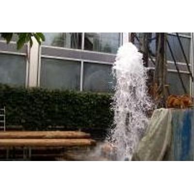
Due to the effects of a growing world population and increased global warming, groundwater prospection is an increasing field of activity for our company Resistivity and EM methods are used most often in water exploration to find the best drilling spot and to define the protection zones, including drinking, mineral, thermal and process water projects. Borehole logging methods like flowmeters are used to localise and quantify water production zones within a borehole enabling an optimised design of the borehole. Temperature and conductivity logs combined with water sampler probes are delivering important information on water quality.
Geotechnics Services
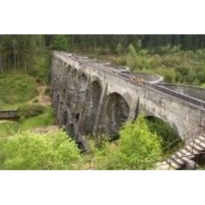
It is necessary to have a good understanding of the mechanical properties of a building or construction site including roads, railway tracks, bridges, dam sites, tunnels, buildings and open pits. The mechanical properties of the area influence the design and the actual method used in a building project (e.g. blasting vs. tunneling machine). terratec Geophysical Services provides a wide range of geophysical measurements from surface to borehole, enabling us to acquire information on the properties of the area such as the predominant orientation of geological structures, the amount of rock fracturing or the mechanical properties of the area. These geophysical measurements are important tools to assess the risks during the planning phases as well as aiding in the optimisation of the building and construction processes within a certain area.
Borehole Logging Services
Terratec Geophysical Services provides borehole logging to determine the physical and chemical properties of subsurface formations, borehole fluid present and the conditions within the borehole.Subsurface Geophysical Methods
Subsurface geophysical methods are used to gather information on the area by analysing the differences in various physical properties such as electric, magnetic, density and radioactivity. The methods used include: Geoelectrics, Magnetics, Electromagnetics, Gravity and Radiometrics.