
XAG Co., Ltd.
- Home
- Companies
- XAG Co., Ltd.
- Products
2 products found
XAG Co., Ltd. products
Remote Sensing Drone
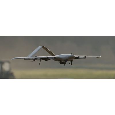
XAG - Model M2000 - Remote Sensing Drone
With the fixed-wing VTOL design, XAG M2000 Remote Sensing Drone is developed for high frequency and high demand aerial survey tasks of multiple scenarios, which allows one person to map fields of 533 hectares in an hour¹. Equipped with XAG SuperX 4 Pro Intelligent Control System, the XAG M2000 is capable of accessing quality geographic data, which helps build up digital field maps stably and rapidly to facilitate production decisions.
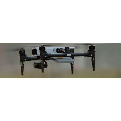
XAG - Model M500 - Remote Sensing Drone
XAG M500 Remote Sensing Drone is designed for precision agriculture, with the capability to fly autonomously and capture high definition images with high-performance data processing. Partnering with XAG M500, you can better understand your farm to enable timely and effective actions.