
COSMO-SkyMed
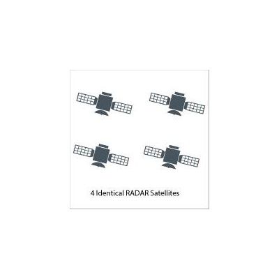
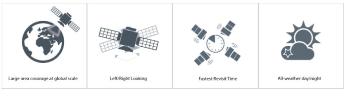
The COSMO-SkyMed system is a constellation of four radar satellites for Earth Observation founded by the Italian Space Agency and the Italian MoD. COSMO-SkyMed is at the forefront of technology and uses high-resolution radar sensors to observe the Earth day and night, regardless of weather conditions. The constellation is fully operational since the 2008. Its purpose is to monitor the Earth for the sake of emergency prevention (management of environmental risks), strategy (defense and security), scientific and commercial purposes, providing data on a global scale to support a variety of applications among which risk management, environment protection, natural resources exploration, land management, defense and security. e-GEOS (ASI/Telespazio Company) is the world-wide exclusive distributor of COSMO-SkyMed and operates, on behalf of ASI, the IC-UGS (Italian Civilian User Ground Segment) at the Matera Space Center.
- Maritime Domain Awareness: Maritime awareness and Maritime Safety monitoring are supported by frequently collected low spatial resolution ScanSAR modes. Retrieval of information (e.g. ship position, oil slick detection) is carried out in near-real time (less than ½ hour from satellite pass). A fully integrated and automated service chain is implemented at the receiving terminal location (either fixed or mobile).
- Defense and Intelligence: The frequent revisit of the constellation, when coupled with the very high resolution (Spotlight mode) opens a completely new area of applications for defense & intelligence. Applications. Very accurate change detection in and around sensitive targets (industrial plants, borders) can be completed with unprecedented time revisit and area coverage. Multi-satellite interferometric configuration allows for coherence analysis (activity maps and disturbed terrain analysis).
- Thematic Mapping: The combination of very short term (a few days) change detection and coherence analysis can be used for thematic mapping and environmental monitoring (forestry, agriculture), allowing for large region mapping of areas where collecting optical images is limited by cloud coverage.
- Emergency Response: The constellation is a key tool for emergency response activities. The system can rapidly provide information for early damage assessment. In some cases (e.g.: flood mapping) information can be retrieved and provided to users in near-real time.
- Land stability analysis: Long term interferometric time series and state of the art processing technology (DIFSAR, Persistent Scatterers analysis) provide information for Land stability analysis such as urban subsidence, infrastructure monitoring – railways and pipeline – landslide and volcano monitoring. The COSMO-SkyMed system can provide accuracy up to few millimetres on intervals as long as months or a year.
e-GEOS offers two attractive packages to meet your needs when significant data amounts are required
COSMO-SkyMed Interfero Stack Package
Interferometric data stack of at least 5 scenes over the same area in a twelve‐month period
COSMO-SkyMed Monitoring Package
Monitoring order of at least 5 scenes over the same area in a three‐month period