

Delair
Delair - Model DT26X -Democratizes Airborne LiDAR Drone
FromDelair
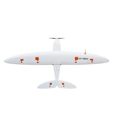
The Delair DT26X LiDAR democratizes airborne LiDAR by enabling the technology to be used in a much wider range of projects. The solution hugely reduces costs and safety risks which makes the DT26X LiDAR a scalable alternative to manned aircraft for corridor and large-area mapping.
Most popular related searches
- Endurance Up to 110 min
- Weight (payload included) 17 kg (37.5 pounds)
- Wingspan / Length 3.3 m / 1.6 m (10.8 ft / 5.2 ft)
- Material Composite (fiberglass, carbon, kevlar), EPP foam
- Cruise speed 60 km/h (37 mph)
- Take off / Landing Catapult / Belly (all terrain)
- Maximum surface area covered 9,7 km² @ 120 m
- (3.7 mi² @ 394 ft)
LiDAR Sensor
- Sensor name RIEGL miniVUX-1DL
- Max. measurement rate Up to 100 000 meas./sec
- Max. range @ target reflectivity 60% 200 m (657 ft)
- Range accuracy 15 mm (0.5 inches)
- Field of view 46° / 102 m @ 120 m AGL
- (334 ft @ 394 ft AGL)
- Point density 35 pts/m² @ 120 m AGL
- (394 ft AGL)
Industrial-grade RGB Camera
- Sensor type Global shutter, distorsion free
- Max. measurement rate Up to 100 000 meas./sec
- Image resolution /
- Dynamic range 21,4 MPix / 70 dB