

International Water Management Institute (IWMI)
Flood Risk Mapping
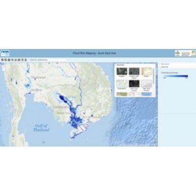
Remotely sensed information from satellites and airborne instruments can be used for estimating the extent and dynamics of flood inundation for large areas and can complement in-situ observations. IWMI’s flood risk spatial datasets contain estimated maximum flood inundation extent for South Asia, Southeast Asia and Nigeria.
Most popular related searches