

CO.L.MAR. S.r.l.
- Home
- Companies
- CO.L.MAR. S.r.l.
- Products
- CO-L-MAR - Singlebeam and Multibeam ...
CO-L-MAR - Singlebeam and Multibeam Echosounder
FromCO.L.MAR. S.r.l.
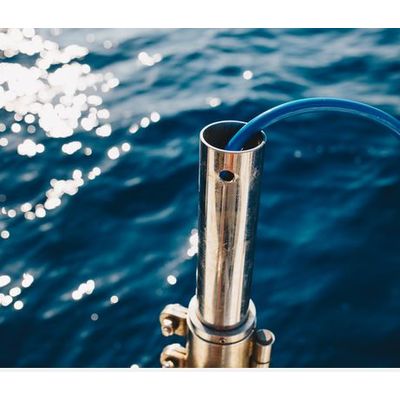
Bathymetric surveys are carried out every time is requested to know in details the seafloor morphological conformation. The bathymetry would be performed by mean of singlebeam or multibeam echosounder. The parameter to evaluate the quality of bathymetric survey is the reliability and accuracy obtained (up to 5x5cm by mean multibeam). On the survey vessel the echo sounder data and the GPS positioning information are recorded and displayed by the navigation system. Afterwards the data are processed with tide level correction and coordinates conversion. Finally, the data can be displayed with different formats: elevation maps, contour lines maps, profiles, 3D images (above 3d sections in a pipelines shore approach) and volumes computation.
Most popular related searches
multibeam echosounder
inertial navigation system
echosounder data
echosounder
bathymetry monitoring
hydrographic monitoring
survey vessel
hydrographic equipment
geophysics monitoring
echosounding
- Hydrographic surveys for all the marine purposes like dredging, marine construction, seabed habitats monitoring, beaches nourishing, etc, pier and breakwaters inspection.
- Hydrographic equipment and survey procedures compliant with IHO standards
- High frequency multibeam system (450 kHz) up to 160° angular coverage, equidistance or equiangular beam forming
- Odom Hydrotrak 200 kHz single beam system
- GNSS-aided Inertial Navigation System
- Real time or post processed tide correction