

Wildlife Computers - Model SPOT-293 -Versatile, Cost-Effective Satellite Transmitting Tags
The SPOT-293 tag from Wildlife Computers is a cost-effective and versatile satellite transmitting solution for tracking the horizontal movements of marine animals. Utilizing the Argos satellite system, these tags send short transmissions when the tagged animal surfaces, allowing for near-real-time location data with accuracies up to 250 meters. With global coverage, the tags enable researchers to track animals over extensive distances and in remote regions. The SPOT tags are renowned for their widespread use and publication in marine research, ideally suited for species such as sharks, albatross, penguins, sea turtles, pinnipeds, and cetaceans. Available in various shapes and sizes, these tags can be customized for specific research needs. Conductivity operational limits can be tailored for freshwater applications, ensuring versatile usability. Key features include robust data products and multiple configuration options to support diverse research requirements. For more information, visit their website or contact their technical sales and support team located in Redmond, WA, USA, and Havelock North, New Zealand.SPOT tags are highly versatile, cost-effective satellite transmitting tags designed for tracking horizontal movements of free-ranging marine animals.
When at the surface, SPOT tags send out short transmissions to the Argos satellite system. Consecutive transmissions received in a single satellite pass are used to calculate the location of the transmitter. Locations are available in near-real-time with accuracies as high as 250 meters. Global coverage by the Argos system allows animals to be tracked over long distances and in remote areas. Wildlife Computers SPOT tags are widely used and are one of the most published-on marine satellite tracking tags on the market.
A SPOT tag works best for marine animals that routinely spend time at the surface like sharks, albatross, penguins, sea turtles, pinnipeds, and cetaceans.
SPOT tags come in a variety of shapes and sizes for a variety of attachments. We have, or can create, a solution that works best for your research animal.
- Specialized Shapes and Attachments—the biggest differentiator of our SPOT tags is the variety of shapes and sizes—over 50 different configurations. There are a variety of attachment options including back mount, fin mount, flipper mount, float mount, AUV mount, towed, transdermal, and anchored.
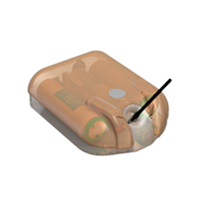
- Recovery Pinger—SPOT tags are equipped with a UHF pinger. This optional pinger can be enabled to send out low-power, unmodulated “pings” while the tag is at the surface. Tags and animals can then be located and actively tracked using a directional antenna and receiver.
- Highly Customizable Data Collection and Transmitting Schedule—researchers can customize and prioritize data transmissions to capture the information that is most important for the project. Deployments can be tailored to address unique experimental objectives. Flexible transmission schedules provide the ability to extend the life of the tag by focusing on specific seasons or times of the year and optimizing transmissions for when satellites are in view.
- The Portal Advantage—SPOT tags are supported by the Wildlife Computers Data Portal, a collection of data management tools and services. Developed specifically for the display and investigation of data from Wildlife Computers tags, the data portal streamlines the processes of acquiring, preserving, and sharing data. The portal has tools to program the tags and collect, prepare, analyze, and present the data returned via Argos. Data are easily sorted, filtered, searched, mapped, and shared. You can see a live map of your tracks, with positions color-coded by the time since deployment. You can also set up a live KMZ to view your data in your own visualization browser.
- Argos Locations
- Time-At-Temperature Histogram (TAT)
- Percent-Dry Timeline