
Geo&Land
Aerial Data Collection - UAV Surveying
FromGeo&Land
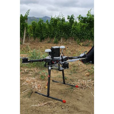
Geo&Land is drone data collection provider. Our certified UAV operators control the process of data capture, analysis, archival and distribute aerial data quickly and more cost effectively than ever before using web map services. Whether the project is for Mapping, Agriculture & Forestry, Mining and volume calculation, Vegetation / Crop diagnosis, Oil & Gas, Infrastructure & Utilities or a Emergency & Disaster our team can quickly and safely provide a UAV LiDAR survey at 1cm/pixel resolution.
Most popular related searches