
Geo&Land services

GIS and Software Development Services
Data acquisition, digitisation. Data management and maintenance. Data conversion / integration. Data validation / processing. Data analyses / evaluations. GIS project management. System integration (EAI). Data and services hosting / mash-up. Development/programming of geo components. Design of geo infrastructures. GIS operation (outsourcing).
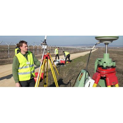
Surveying Services
Geodetic control networks: Design, reconnaissance, establishment, surveying, processing and adjustment, analysis. Urban planning.
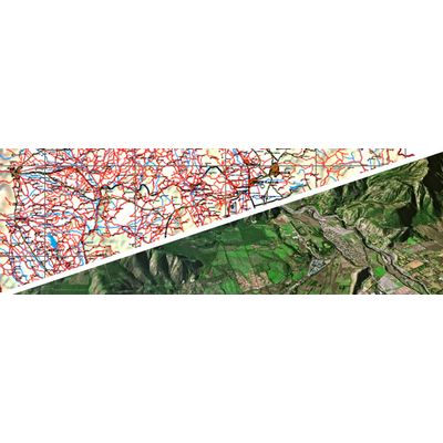
Mapping and Remote Sensing Services
Digital 2D mapping, digital 3D mapping, mobile mapping, forestry mapping, agriculture mapping, mining and geology mapping, satellite imagery interpretation and classification, land cover and land usage maps, identification and delineate of forest types, monitoring, watershed management.
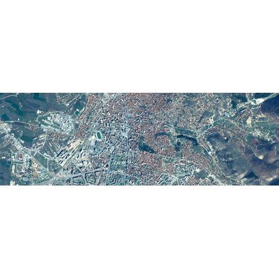
Orthophotos Services
For the purpose of urban-spatial planning, Geo&Land offers different aerial images and orthophotos for Kosovo, Albania and Macedonia. In order to manage urban, development and legalization plans, we offer a GIS municipal portal.
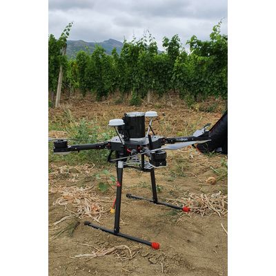
Aerial Data Collection - UAV Surveying
Geo&Land is drone data collection provider. Our certified UAV operators control the process of data capture, analysis, archival and distribute aerial data quickly and more cost effectively than ever before using web map services. Whether the project is for Mapping, Agriculture & Forestry, Mining and volume calculation, Vegetation / Crop diagnosis, Oil & Gas, Infrastructure & Utilities or a Emergency & Disaster our team can quickly and safely provide a UAV LiDAR survey at 1cm/pixel resolution.