

GeoServ
Geographic Information Systems (GIS)
FromGeoServ
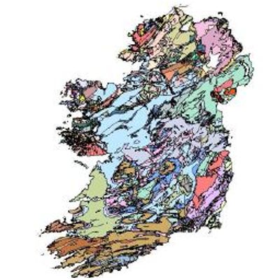
GeoServ understands the importance of compiling and presenting geographical data in a way that allow our clients to improve critical decision making as part of our project development operations. GeoServ use GIS to capture, store, analyse and manage a wide range of geographical data. We provide GIS to natural resource sectors allowing a graphical representation of gathered data. (for data storage options please contact our team)