HELIX Environmental Planning, Inc.
- Home
- Companies
- HELIX Environmental Planning, Inc.
- Services
- Geographic Information Systems (GIS) ...
Geographic Information Systems (GIS) Services
Geographic Information Systems (GIS) has become an essential tool for any decision-making process that involves a geographic or spatial component. HELIX specializes in environmental uses of GIS, with additional capabilities extending to many GIS, CAD and graphic applications. HELIX uses state-of-the-art mapping software and hardware to perform analysis and mapping to ensure that clients receive the highest quality product available.
Most popular related searches
geographic information system
geographic information
GIS service
field data acquisition
resource mapping
geographic data
watershed analysis
mapping software
vegetation mapping
land use
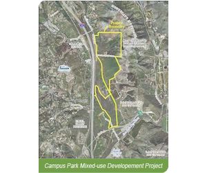
HELIX provides a full range of comprehensive GIS consulting services, including:
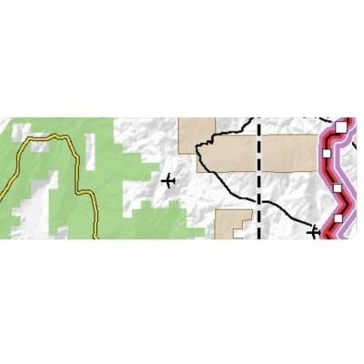
- 3D and spatial analyses and mapping
- Watershed analysis and mapping
- Environmental impact analysis
- Terrain modeling and analysis
- Resource mapping
- Land use mapping
- Biology mapping
- Vegetation mapping
- Hydrologic modeling
- Field data acquisition/GPS data collection
- GIS, AutoCAD and Microstation data acquisition and manipulation
- Asset mapping/inventory analysis
- Digitizing from source media
- Geocoding
- Georeferencing
- Data migration/data format conversion
- Cleaning of geographic data for use in CAD or GIS applications
- Internet mapping site creation
- Geodatabase creation
- Metadata creation
- High-quality color printing and plotting
- Large-format, high-quality scanning
- Cartography - combining GIS with other graphic software to produce high-quality maps
- GIS consulting and training, including GIS needs assessment
- Development and implementation of GIS