

Earth Link & Advanced Resources Development (ELARD)
- Home
- Companies
- Earth Link & Advanced Resources ...
- Services
- Geophysics Services
Geophysics Services
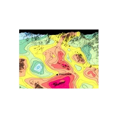
ELARD is one of the the leading regional firm that provides a full-range of geophysical services for hydrogeological, mining, and geotechnical applications such as delineation of depth to bedrock, subsurface stratigraphy and structures, groundwater contamination, underground utility, archeological features and cavity detection.
Most popular related searches
geophysics service
ground penetrating radar (gpr)
ground penetrating radar
geophysics
geophysics logging
electromagnetic survey
underground utility
CCTV survey
groundwater contamination
tomography
Moreover, ELARD has access or possesses the equipment necessary to conduct such investigations. and is the only firm in the region which posses two truck mounted logging system with a depth investigation capacity of up to 2000 m.
Our range of Geophysical Services includes the following:
- Shallow Seismic Investigation
- Resistivity and Electromagnetic Survey (VLF, EM, VES, and Tomography)
- Gravimetric and Microgravity Surveys
- Ground Penetrating Radar (GPR)
- Cross-hole Seismic, Electric and Radar Tomography
- Open and Cased Hole Geophysical Logging
- CCTV Survey (Down-hole Camera)