

- Home
- Companies
- I.M. Systems Group, Inc.
- Services
- Geospatial Information Services (GIS)
Geospatial Information Services (GIS)
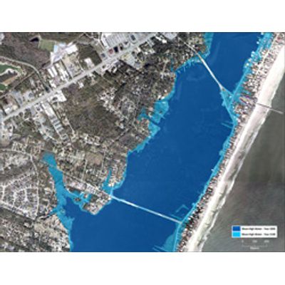
IMSG can help you understand the impact of complex environmental problems through the use of advanced geospatial tools, methods and technologies. Whether you are faced with natural resource, regulatory or economic challenges, our experienced team of geospatial specialists, scientists, engineers, and policy analysts have the expertise in mapping and visualization to solve your complex, multi-disciplinary problems rapidly.
Our geospatial information services include planning and design, data and application development, systems integration, custom analysis, and training. We have experience servicing highly variable, secure and distributed settings in the U.S. and internationally. No matter where your project is located, you can rely on IMSG for the geospatial data you need to help solve your environmental challenges.