

- Home
- Companies
- American Engineering Testing Inc.
- Services
- Ground Penetrating Radar Service
Model GPR -Ground Penetrating Radar Service
Ground Penetrating Radar (GPR) offers a non-destructive means of material analysis without coring or probing through solid surfaces. GPR is a pulse-echo method for measuring depths where material types change. GPR works much like ultrasound imaging by emitting high frequency electromagnetic waves through materials under investigation using radio waves rather then sound waves.
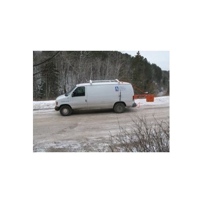
The GPR antenna is moved continuously across the test surface at a speed that allows data collection at the specified interval. The antenna transmits short pulses of radio wave energy into the substrate which is reflected back to the receiver and interpreted into a linear scan profile. The radar detects contrasts in the electrical conductivity of the subject material. As radio waves travel through materials, reflections are created at the boundaries of dissimilar material. The arrival time and strength of reflections are used to determine layer thickness. As the antenna passes over the surface of a substrate in question, a depth profile is collected along the scan line. The depth, extent and locations of material type changes are identified.
In pavements, GPR continuously collects data and measures layer thicknesses by identifying depths at which bituminous, concrete and aggregate base materials change. For most applications, data is collected at highway speeds without inconveniencing and compromising the safety of the traveling public with road closures. GPR data collected for pavement thickness is performed at a rate of one vertical scan per foot at 55 mph, with only a few cores recommended to be taken for confirmation of material types. Analysis of the data identifies the variability of pavement and base layer thicknesses allowing the planning and design of roadway rehabilitation projects. Typical projects include identifying where pavement rehabilitation approaches, such as reclaiming depths for pavements and bases and mill and overlay depths, are most appropriate to avoid construction delays and claims.
In concrete walls and floor slabs, GPR can identify the thickness of the walls, the location and orientation of reinforcement and voids or inconsistencies including depth and continuity of cracks in the material in a nondestructive manner. AET can provide 3 dimensional imaging of the data and a pictorial interpretation. Typical projects include identification of thickness and voids beneath floor slabs and behind walls and identification of the placement of structural reinforcement where cracks are developing. GPR also identifies the severity and extent of cracking for concerns of structural integrity and safety. Data is collected using a hand held or truckmounted antenna for the highest density of data collection.
GPR can also be used to identify depths to utilities and determine the trending direction of the utility by scanning in multiple locations with in the area of interest. GPR can identify the depth to a utility. Data is collected using a hand-held or walk-behind cart.