
Geo&Land
Mapping and Remote Sensing Services
FromGeo&Land
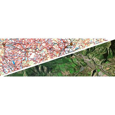
Digital 2D mapping, digital 3D mapping, mobile mapping, forestry mapping, agriculture mapping, mining and geology mapping, satellite imagery interpretation and classification, land cover and land usage maps, identification and delineate of forest types, monitoring, watershed management.