

Wilcox Environmental Engineering, Inc.
- Home
- Companies
- Wilcox Environmental Engineering, Inc.
- Services
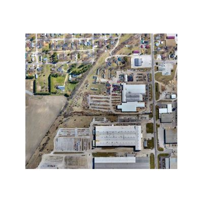
- Orthomosaic Mapping Services
Orthomosaic Mapping Services
Orthomosaic maps are created by stitching multiple overlapping drone aerial images, via mapping software, into a single geometrically corrected or "orthorectified" aerial map. Orthomosaic maps provide high-resolution image quality and true-to-scale relative accuracy of the earth`s surface. Orthomosaic maps can also provide a high level of absolute or global accuracy by implementing ground control points.