

- Home
- Companies
- Aspect Land & Hydrographic Surveys
- Services
- Topographic Survey Services
Topographic Survey Services
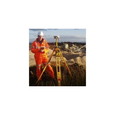
Our experience has seen us tested in some of the most challenging environments in the UK, from snow covered highland regions, accessible only by helicopter, to wind swept coastlines & beaches, tidal causeways, dry-dock installations and working quarry & landfill sites. We have also completed surveys on airport runways, road bridges, piers, carriageways, MOD sites, within water treatment works, along pipeline routes, in hospitals, hotels and derelict buildings and almost every other modern day location and facility.
Our services also include geodetic surveys and we can establish Ordnance Survey level and National Grid co-ordinates to any site, regardless of location, in the absence of an OS benchmark. Our equipment utilises Ordnance Survey RINEX data, which is then post-processed in Trimble Geomatics software. Continual investment in personnel, training, equipment and software ensures that we maintain our position at the forefront of current survey practice in the UK. We are familiar with all current survey related software packages and can output information in various file formats, including AutoCAD 2D & 3D dwg and dxf files, MX GENIO, ERSI and ASCII XYZ. Recent purchases have also included the latest GPS software to ensure compatibility with the Galileo European satellite navigation project. Our expertise is derived from considerable experience across the full range of survey disciplines. We are the preferred contractor for several local & regional authorities and blue-chip companies, underlining our credentials as a professional survey company with a reputation for excellence.