
Aspect Land & Hydrographic Surveys services
Hydrographic Survey Services
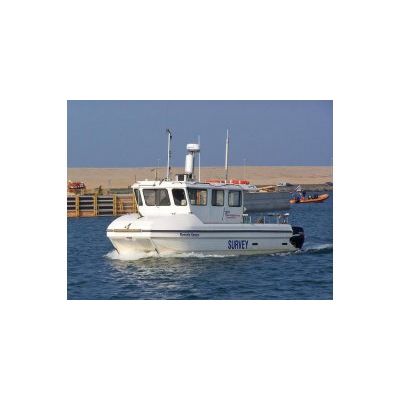
Aspect Land & Hydrographic Surveys` marine survey division offers a wide variety of skills and services, including bathymetric surveys, side-scan sonar imagery, magnetometer surveys, sub-bottom profiling, full geophysical interpretation & analysis and dock wall surveys / investigation. Coupled with our own range of survey vessels, available for separate charter including coxswain, we are able to offer bespoke proposals for any survey requirement anywhere within the UK or Europe. Our philosophy of continual improvement does not end with survey equipment and practices, we also recognise the importance of high quality, professional reporting and continue to be at the forefront of innovative data gathering and post-processing methods and modern electronic reporting techniques.
Oceanographic Services
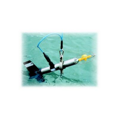
Aspect Land & Hydrographic Surveys provide multi-disciplinary oceanographic services and support to the marine construction, civil engineering, renewable energy, water and maritime industries. Our survey and consultancy services are based on knowledge, innovation and experience with stringent quality assurance via our ISO 9001:2008 accreditation. Both public and private sector industries are being increasingly required to monitor their associated works and its impact on the environment, ranging from seabed profiling and classification, current monitoring and sediment contamination to the effect of marine construction projects on tidal patterns, benthic testing, turbidity monitoring and measuring the discharge of pollutants into watercourses.
Environmental Surveys
Aspect Land & Hydrographic Surveys` portfolio extends to a full compliment of environmental survey works, with a proven track record in areas ranging from inter-tidal to deep water. Affiliated to the Institute of Chartered Environmentalists, our experience ensures the very highest standards of quality assurance, working to internationally recognised and approved survey practices. Projects includes sediment sampling, seabed classification surveys, underwater video / still photography, offshore renewable energy surveys, wave and tidal monitoring, surveys for flood risk assessment, water sampling and littoral surveys. Combined with our topographic and hydrographic survey capabilities, our multi-disciplined approach offers the client a complete survey package, saving time and effort and ensuring consistency of data quality whilst offering reduced mobilisation costs and value for money.
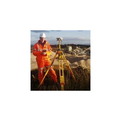
Topographic Survey Services
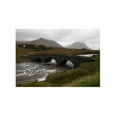
Our experience has seen us tested in some of the most challenging environments in the UK, from snow covered highland regions, accessible only by helicopter, to wind swept coastlines & beaches, tidal causeways, dry-dock installations and working quarry & landfill sites. We have also completed surveys on airport runways, road bridges, piers, carriageways, MOD sites, within water treatment works, along pipeline routes, in hospitals, hotels and derelict buildings and almost every other modern day location and facility.