- Home
- Companies
- GeoView, Inc.
- Services
- Utility Designation Services
Utility Designation Services
The American Society of Civil Engineers (ASCE) has developed a standard of care guideline, which describes four quality levels of utility depiction.
-
Quality Level D - Information derived from existing records or oral recollections.
-
Quality Level C - Information obtained by surveying and plotting visible above-ground utility features and by using professional judgment in correlating this information to Quality Level D.
-
Quality Level B - Information obtained through the application of appropriate surface geophysical methods to determine the existence and approximate horizontal position of subsurface utilities.
-
Quality Level A - Precise horizontal and vertical location of utilities obtained by the actual exposure and subsequent measurement of subsurface utilities, usually at a specific point.
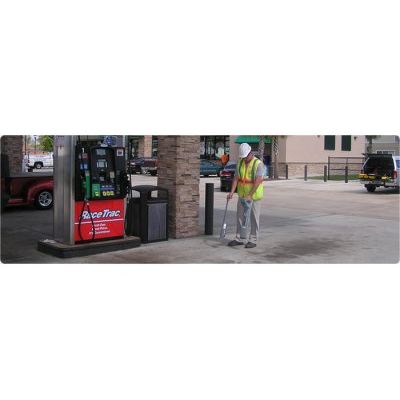
GeoView has performed over 2,000 utility locate surveys for both governmental agencies and private contractors. GeoView can perform Level A through Level D surveys and offers an array of methods to locate underground utilities. These methods include:
-
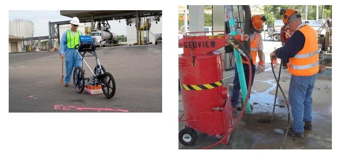
Ground Penetrating Radar to help locate metallic and non-metallic pipes, conduits, septic areas or other conflicts
-
Electronic Pipe and Cable Locators to help locate power and communication lines, metal pipes and utilities that have accompanying trace wires
-
Electromagnetic systems to help locate deeper metallic pipes or other metallic conflicts
-
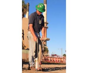
Vacuum Excavation to safely dig down and expose the target utility or to assist in the safe performance of a soil boring.
The typical projects that utilize GeoView’s utility locating capabilities include construction and excavation activities, environmental site assessments, design-build studies, utility upgrade/repair projects and locating voids and raveling zones around failed pipelines. The identified utilities can be marked in the field and/or documented on a scaled AutoCAD or GIS site maps. GeoView’s utility locating personnel are all certified ground penetrating radar and electronic utility locator operators with extensive in-house training.