
AGREM LLC
AGREM - Field Software
FromAGREM LLC
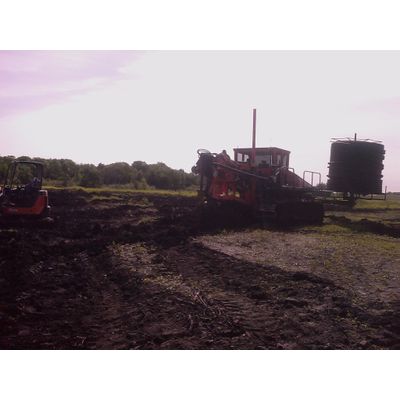
AGREM Field Software combines the capabilities of the AGREM Installation Software and the ability to collect and record RTK survey points used for the creation of topographical maps. With these points, you can then send the survey to AGREM to generate water management designs for your installation. Once the designs are complete, all you need to do is import the design and you are ready to install!
Most popular related searches
water management training
water management
drainage design
employee training management software
water management software
water software
- Ability to take designs to the field with GPS locations, depths, and grades
- Guidance during installation
- Recording of installation
- Ability to review AGREM map and designs in field
- Ability to survey fields using RTK
Ability to create and review topographical maps
- Ability to create tile drainage designs