GISCON Geoinformatik GmbH
ArcGIS - Geo-Data Manager (GDM) Software
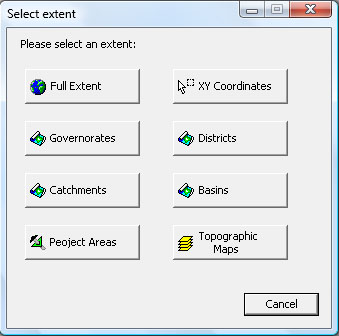
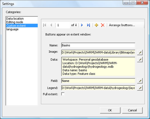
The management and manipulation of large spatial datasets requires a complex database structure. Datasets organized from different data sources in different formats and coordinate systems, should be integrated and presented to the user in a simple and clear manner. This is the main task of GISCON Geo-Data Manager (GDM) for ArcGIS.
Most popular related searches
- ArcSDE Geodatabase
- Personal / File Geodatabase
- Shapefile
- Coverage
- ArcSDE Raster Data
- Raster Images
- GRID
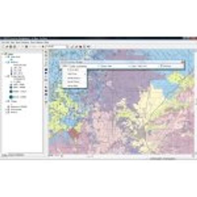
- Administration of geo-datasets that are centrally (server) or locally (client) stored.
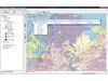
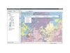
- Three levels of thematic data organization infamiliar names and common symbols.
- Management of raster datasets.
- Automatic display of Raster Catalogs.
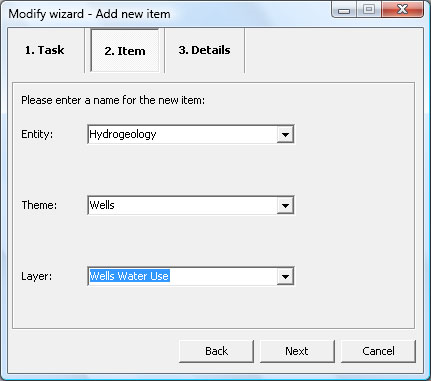
- Assistant-Wizards for selective import and export of spatial and attribute data.
- Thematic zooming levels.
- ESRI ArcGIS Desktop 10.x, or ESRI ArcGIS Desktop 9.3.1 SP2
- Microsoft .Net Framework 3.5 SP1
- Microsoft Windows 7, Windows Vista, Windows XP SP3
- Windows XP SP2 is supported only if using ArcGIS desktop 9.3.1 SP2