

GISCON Geoinformatik GmbH software
Other Software
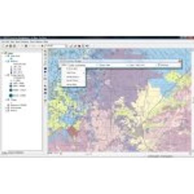
ArcGIS - Geo-Data Manager (GDM) Software
The management and manipulation of large spatial datasets requires a complex database structure. Datasets organized from different data sources in different formats and coordinate systems, should be integrated and presented to the user in a simple and clear manner. This is the main task of GISCON Geo-Data Manager (GDM) for ArcGIS.
DisAgg - Spatial Disaggregation Analyses Software
Spatial analyses in the fields of urban and regional planning, transport planning, environment, climate or geology often require high resolution socio-economic data. Such analyses work with raster data to calculate indicators such as exposure to air pollutants or to noise.
In many cases available socio-economic data do not have the necessary spatial resolution. Usually, data on population, employment or housing are available only for larger areas such as provinces, districts, municipalities or other statistical entities, i.e. units that might be too coarse to be used in such spatial models.
GISCON proBaum - Tree Control Software
proBaum is a modern control and management program for the implementation of tree and object controls, and for the acquisition, planning and execution of maintenance and “repair” orders for the trees.
GISCON KTS - Ccomplete Tool Software
Global Net FX
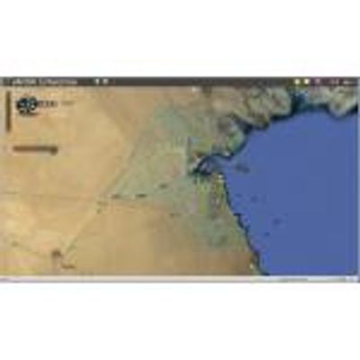
Global Net FX - ArcGIS Server Flex Solution Software
Global Net FX® Viewer is an instrument to display geographical and spatial information. Apart from being a mere viewer of information, it also provides a range of analysis and editing tools. It is developed as an application that is configurable and expandable, and offers multilanguage and cultural support. Additionally, there will be a user management system to define rights and roles, and a logging mechanism, to offer traceability of data changes. The application framework is built on top of a Google base map, which is loaded into the viewer.
Geodave

GEODAVE - Model Client - Geodata Server
GEODAVE Client allows the visualisation and analysis of geodata and consists of the modules. GEODAVE Client provides a stand-alone viewer application for map services, where JavaServer Pages server-sidely create HTML pages with JavaScript functions. The thin client makes only low demands on the bandwidth and requires neither applets nor plugins. Its user interface is optically adjusted to the interface of ArcMap.
GEODAVE - Model Edit - Geodata Server
GEODAVE Edit enables the users to edit the geometries and attributes of versioned SDE data. This unit consists of the modules. The proper access to the SDE data is managed by the unit GEODAVE Secure. One big advantage when applying GEODAVE Edit is that the GIS functions are processed server-sidely. Desktop GIS are no prerequisite at the individual client computers. The web application is accessible by every admitted computer in the intranet/internet simply via an internet browser. The thin client requires only low bandwidth. We would like to offer you a trial access to GEODAVE Edit!