
- Home
- Companies
- NV5 Geospatial Solutions, Inc.
- Software
- ENVI Deep Learning - Automate Analytics


ENVI Deep Learning - Automate Analytics
L3Harris Geospatial has developed commercial off-the-shelf deep learning technology that is specifically designed to work with remotely sensed imagery to solve geospatial problems. The ENVI Deep Learning module removes the barriers to performing deep learning with geospatial data and is currently being used to solve problems in agriculture, utilities, transportation, defense and other industries.Additionally, it is simple for seasoned imagery experts to fuse information layers such as spectral indices, elevation data or data transforms to create more robust classifiers.
Accuracy Counts
ENVI is the leading image analysis software on the market and its science-based analytics are accurate and reliable for extracting meaningful information from all types of geospatial imagery and data. ENVI’s preprocessing tools such as calibration, atmospheric correction and color space transforms create consistent input data for deep learning models. With deep learning technology built on TensorFlow, a leading open source library, you can create reliable models for image classification.
The ENVI Deep Learning module is offered as an extension to ENVI for desktop applications and is built on the ENVI Task framework. This means that classifiers can be built once and run in any environment, whether that’s your desktop computer, on-premises servers or in the cloud. To demonstrate how you can use this technology, here are a few real-world examples of customer problems that have been solved using the module.
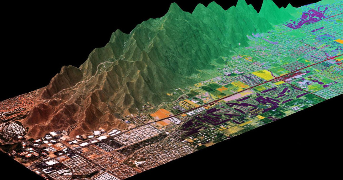
URBAN GROWTH
The ENVI Deep Learning module makes it easy to assess the environment. The module was used to generate the landcover classification image below. When another image was generated the following year, traditional change detection workflows in ENVI were used to approximate the human impact on the environment and detect things like new buildings and well pads.
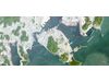
AGRICULTURE
Using the ENVI Deep Learning module, the locations of current, and past, lava flows in Hawaii were identified. This information was used in ENVI to understand the environmental impact that the volcanic gasses had on local crops, which gave farmers insights for insurance claims and an ability to understand if crops are safe for human consumption.
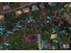
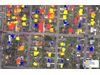
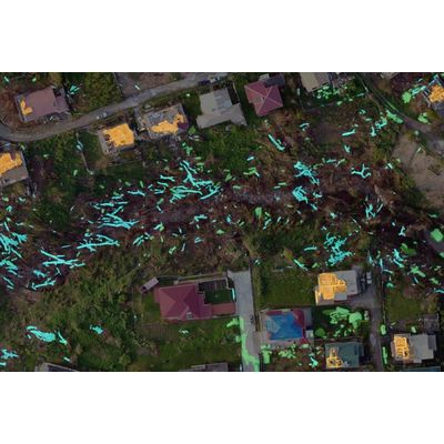
DISASTER RESPONSE
When disasters strike, response time is very important. The ENVI Deep Learning module has been tuned so you don’t need thousands of samples to create models for finding features. After a recent hurricane, the module was used to quickly characterize different types of damage to buildings throughout the region ranging from partial to full destruction. First, a handful of small areas were labeled according to the extent of the damage. When the model was applied to the scene, the damaged buildings were automatically classified according to the extent of the damage they sustained.