

Data Management Software
Large amounts of data, at hand at any time. Spatial and temporal resolutions of weather, environmental, and geodata are constantly growing — and so is the data volume. Large databases are at the heart of our data services and web applications. To attain flexible querying and low latency at the same time, special know-how and technologies are required.
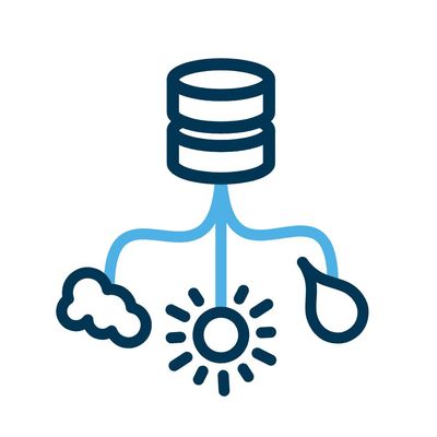
We`re using so-called spatio-temporal time series databases, for both point and raster data:
- Point data typically originates from measurement stations or sensors and is stored in SQL databases. Raster data originates from numerical weather prediction models, weather satellites/radar, or from interpolated point data.
- Naturally, raster data volumes are quite big. The technology required to store and query such large amounts of data is therefore much more complex than for point data. Our raster databases are based on the “data cube” model and on open source technologies. The standard data model is three-dimensional (see figure), but additional dimensions such as “height” are possible, too.
Our point and raster databases are the foundation for most of our digital products and services like data APIs, visualizations such as maps and charts, data analysis, and web applications. Reponse times are low even for data sets that consist of terabytes of data.
With GridAPI we provide an all-inclusive data store and service package for geospatial raster data — covering data import, query APIs, and visualitations. Features:
- Software as a Service (SaaS) or self-hosting
- flexible and powerful data import over http API, (s)ftp etc.
- data monitoring
- raster and point queries over an http API (output formats: json, plots, GeoTIFF)
- wmts map tiles
- map visualisations based on our MAAP component