

Laser Technology Inc (LTI)
- Home
- Companies
- Laser Technology Inc (LTI)
- Software
- LaserSoft® Conductor Clearance - Field ...


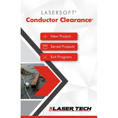
LaserSoft® Conductor Clearance - Field Data Collection App
LaserSoft® Conductor Clearance mapping software for utility infrastructure and pole audit professionals is used for inspection of conductor and transmission wire clearance and heights. Leave your measuring wheels, height sticks or bulky, expensive total stations behind during your next inventory project. Just grab a TruPulse laser and the Conductor Clearance app and you’re ready to hit the field.Most popular related searches
field data acquisition
measuring wheel
mapping software
utility infrastructure
field data
distance calculating
- Generate reports in PDF, TXT, CSV, GPX, and KML formats for data processing
- Conductor Height procedures to verify clearance over a roadway, under a line, or above the high brush line
- Missing Line or Point-to-Point workflow for measuring the distance and angle between any two points
- Point-to-Line sequence for calculating the distance and angle between a point and a line segment
- Streamlined Laser and GPS connection screens
- Operating Systems:Android™
- Supported Devices:Please check the Google Play Store for the latest compatibility
- Connectivity:Bluetooth®
- Compatible Hardware:TruPulse® 200X, TruPulse 200, TruPulse 360R, TruPulse 360
- Optional: MapStar® TruAngle®
- Supported Languages:English; template is available for translation