

They allow the lateral and/or vertical distribution of the apparent resistivities to be determined. The geometry of geological and manmade bodies can be determined based on these results, using characteristic resistivity contrasts.
An electrical resistivity tomography (ERT) corresponds to a series of sequential electrical soundings. The obtained images show the distribution of the resistivities in the subsurface in two dimensions.
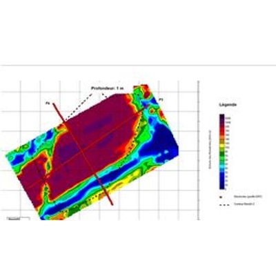
A three-dimensional acquisition has the advantage of resolving the geometry of complex objects (foundations, caves, cavities, etc) by correcting for topographic effects. The optimization of the survey geometry permits the coverage of relatively large areas while retaining the quality of the results.
Repeated measurements, notably in 3D, is particularly useful for monitoring groundwater flow of contaminated sites.
- Aquifer research
- Quarry / Gravel pit
- Landslides
- Geological structures
- Mineral prospection
- Foundations
- Adaptation of the acquisition to each specific study
- 2D/3D inversion
- Advanced interpretation
- Geological modeling
- 2D/3D Visualisation