
- Home
- Companies
- Killet GeoSoftware Ing.-GbR ...
- Software
- GeoDLL - Version 24.33 - Geodetic ...
GeoDLL - Version 24.33 -Geodetic Development Kit Development Tool for coordinate transformation and GIS
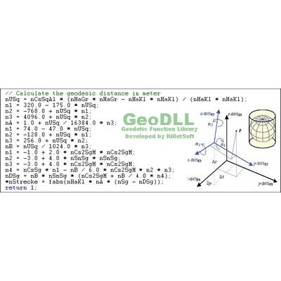
GeoDLL is a Geodetic Development Kit or a Geodetic Function Library for worldwide 2D and 3D Coordinate Transformations and Datum Shifts with highest accuracy and for calculating Meridian Convergence and many Extra Parameters. Furthermore: Helmert and Molodensky Parameters, NTv2, HARN, INSPIRE, EPSG, Digital Elevation Model (DEM), distance and Time Zone calculations and much more. GeoDLL is available as 32Bit and 64Bit DLL and as C++ source code.
GeoDLL - Version 24.33 - Last update on 25 June 2024
The latest important changes
- Calculations from/to WGS84 with more accurate ITRF2014 and ITRF2020 realizations.
- New ITRS epochs 2024 to 2026 for North America, Australia and Europe.
- Coordinate and reference systems adapted to EPSG version 10.091.
- NTv2 reference systems updated for the German Federal State Hamburg.
- New CRS from Greenland, Faroe Islands, Japan and Canada.
The Geodetic Development Kit GeoDLL is an easy to use function library which is designed particular for GIS professionals and software developers. GeoDLL allows developers to embed thousands of preadjusted, precise coordinate transformations and geodetic datum shifts and custom best fit transformation parameters into their individual geoinformatics software. GeoDLL supports datum shifts with Seven Helmert Parameters and Three Molodensky Parameters and with NTv2 and HARN grid shifts. GeoDLL contains many geomatics tools for GIS development, such as creating Helmert and Molodensky parameters parameters and NTv2 grid files, tools for analyzing and manipulating NTv2 files, INSPIRE and EPSG support, digital elevation models, distance calculations and time zone determinations. GeoDLL has grown with many improvements over the years and it continuously benefits from user feedback. Thanks to the numerous improvement suggestions of the users the quality and the scope of functions of the Geodetic Development Kit increase constantly.
GeoDLL supports the development of geodetic software on various platforms by providing geodetic functions. The operating system WINDOWS provides software developers the opportunity to use prepared functions of third-parties in their own software applications. Thus, geodetic functions of GeoDLL can be linked to programs written in C, C++, C#, Java, Pascal, Delphi, MS-Access, Visual Basic, Visual Objects or which are written in other programming languages. To support the GeoDLL, examples and interfaces with source code for many commonly used programming languages are provided.
GeoDLL comes with extensive documentation and is supplied as DLL file for 32bit and 64bit architectures or as C / C++ source code. GeoDLL works with most programming languages and it can be used with Microsoft Office programs. GeoDLL is written in C / C ++ and is developed using Microsoft Visual Studio. Thus very fast performance, compact code and high stability are assured. The functions of GeoDLL are prepared for multithreading.
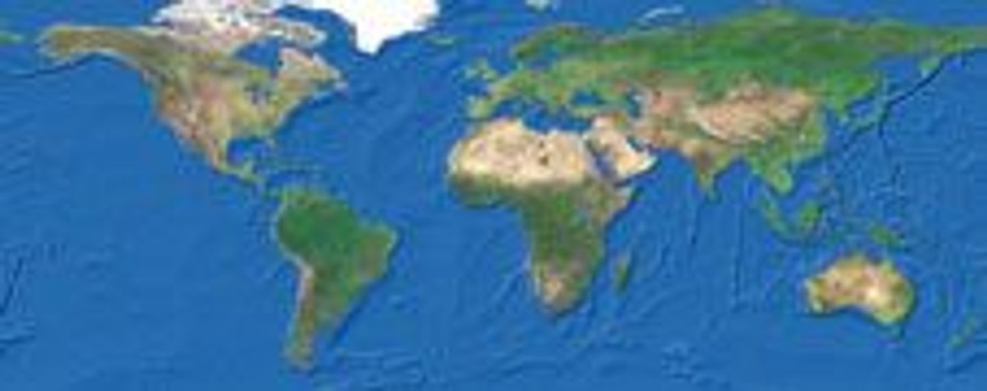
The most important application of GeoDLL is to include professional Coordinate Transformations in own programs. These Coordinate and Reference Systems are supported:
- The current and historical Systems of all countries of Europe
- The European ETRS89 systems forced by INSPIRE
- The US and Canadian NAD, NTv2, HARN and SPCS Coordinate Reference Systems
- The Coordinate Reference Systems of most countries of all continents
- The Coordinate Reference Systems of Germany, Austria and Switzerland incl. NTv2
- The Geographic coordinates in different notations and Cartesian coordinates
- Worldwide NTv2 grid file supported Coordinate Transformations
- Worldwide used numeric and alphanumeric Coordinate Systems
- Most of EPSG supported Coordinate Reference Systems
- ITRS annual realizations or WGS84 epochs for GPS measurements
- WGS84 Coordinate Transformations in consideration of the continental drift
- User defined Coordinate Systems, Reference Systems and earth ellipsoids
- Meridian Convergence, Origin Center Meridian, Geographical Point Coordinates
In some countries, here  Germany as an example, the there available Coordinate Reference System are broken down in more groups:
- The Coordinate Reference Systems of the old and new German Federal States
- The German `Lagestatus` Coordinate Reference Systems
- The high-precision Reference Systems of the German Federal States incl NTv2
- The 40 Soldner Coordinate Systems of the Prussian Land Registers