

- Home
- Companies
- V&G - Geospatial Information System
- Software
- V-G - Version GT Map - Geospatial ...
V-G - Version GT Map -Geospatial Information Mobile Software
Mobile software to support field work. Introducing GT Map Mobile.
Field investigation work
visit the site and Inspect facilities.
Check the condition of the facility or if an investigation is necessary, visit the site and record the investigated information. Facility information is always kept up to date using photos taken or memos.
Data synchronization
Provides accurate and convenient data synchronization function.
It is convenient to download the data before visiting the site or to update the information corrected on the site. It also alerts users to one more review if invalid data exists.
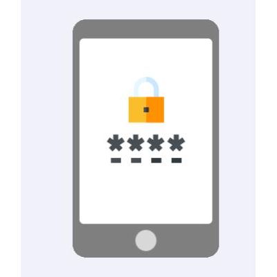
System security
Only authorized users can access the system and data
We applied strong security in consideration of various situations such as loss of equipment. Whenever accessing the system or accessing data, check user information and only authorized users can use it.